TYPE:
SENSOR
LAYER:
DS_PHR1A_201607071031298_FR1_PX_E007N48_0915_01713
FORMAT:
DIMAP
RASTER:
image/jp2
General Information
Map Name
Geometric Processing Level
Radiometric Processing Level
BASIC
Image dimensions
Number of columns
8923
Number of rows
9528
Number of spectral bands
4
Dataset framing
Vertice
Longitude (DEG)
Latitude (DEG)
Row
Col
#1
7.578909723381531
48.70916297845258
1
#2
7.845862036100851
48.72121485839674
#3
7.845325949127736
48.52940831030651
#4
7.579610797411332
48.51603674892896
Dataset sources
PHR
Coordinate Reference System
Projected Coordinate System
Geocoding tables identification
EPSG(6.3)
Production
Production Date
2016-07-12T10:30:24.571
Job identification
1866242101-002
Dataset Producer Identification
AIRBUS DS GEO
Producer link
http://www.geo-airbusds.com
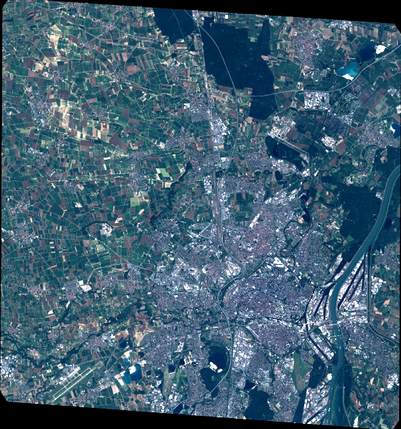
Quicklook
Copyright