TYPE:
SENSOR
LAYER:
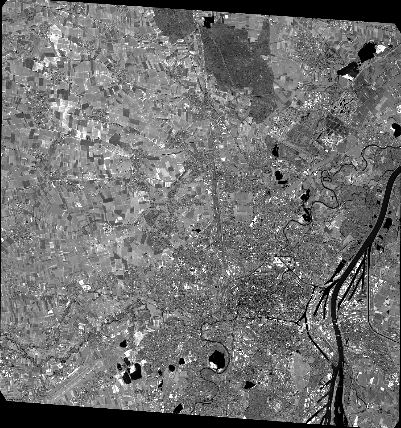
DS_PHR1A_201607071031298_FR1_PX_E007N48_0915_01713
FORMAT:
DIMAP
RASTER:
image/jp2
General Information
Map Name
Geometric Processing Level
Radiometric Processing Level
BASIC
Image dimensions
Number of columns
35687
Number of rows
38112
Number of spectral bands
1
Dataset framing
Vertice
Longitude (DEG)
Latitude (DEG)
Row
Col
#1
7.578902378826831
48.70916428537856
#2
7.845841333702127
48.72121695354122
#3
7.845309228976681
48.52939727066532
#4
7.579607788174411
48.51602514214203
Dataset sources
PHR
Coordinate Reference System
Projected Coordinate System
Geocoding tables identification
EPSG(6.3)
Production
Production Date
2016-07-12T10:31:16.555
Job identification
1866242101-001
Dataset Producer Identification
AIRBUS DS GEO
Producer link
http://www.geo-airbusds.com
Quicklook
Copyright