TYPE:
SENSOR
LAYER:
SEN_SPOT7_20160625_150343900_000
FORMAT:
DIMAP
RASTER:
image/tiff
General Information
Map Name
Geometric Processing Level
Radiometric Processing Level
BASIC
Image dimensions
Number of columns
38609
Number of rows
36693
Number of spectral bands
1
Dataset framing
Vertice
Longitude (DEG)
Latitude (DEG)
Row
Col
#1
-74.1010008951
18.7508356253
#2
-73.5149981026
18.7363026442
#3
-73.5170594374
18.2001399056
#4
-74.0984459553
18.2122172767
Dataset sources
SPOT
Coordinate Reference System
Projected Coordinate System
Geocoding tables identification
ITU(0.0)
Production
Production Date
2017-04-04T13:34:51.00Z
Job identification
SPOT7_20170404_1310211esa62yp88tlz_1
Dataset Producer Identification
"SRD GEOSUD / IRD, Irstea, IGN"
Producer link
http://geosud.teledetection.fr/
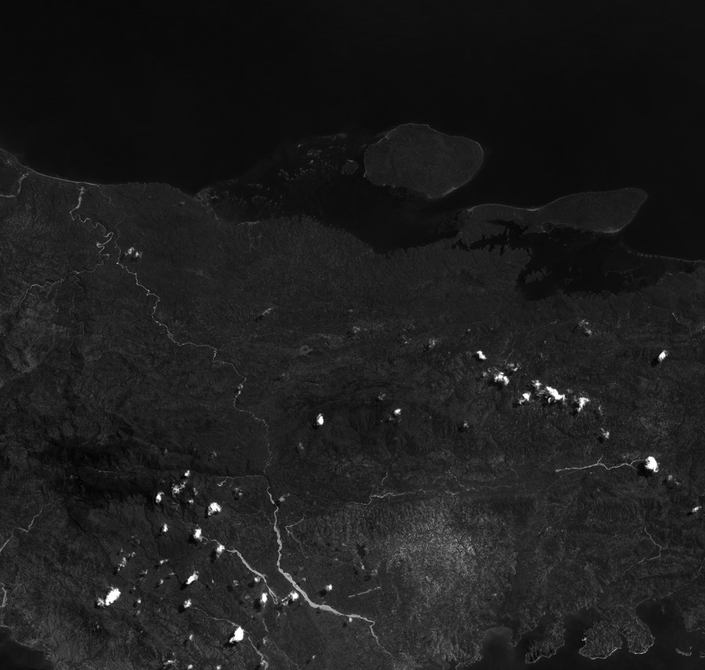
Quicklook
Copyright