TYPE:
SENSOR
LAYER:
DS_PHR1A_201606240644015_FR1_PX_E055S22_0421_02712
FORMAT:
DIMAP
RASTER:
image/jp2
General Information
Map Name
Geometric Processing Level
Radiometric Processing Level
BASIC
Image dimensions
Number of columns
9273
Number of rows
14969
Number of spectral bands
4
Dataset framing
Vertice
Longitude (DEG)
Latitude (DEG)
Row
Col
#1
55.20565509094187
-21.00923954865953
1
#2
55.40150823160414
-21.01831754020575
#3
55.40344322632921
-21.31085837772503
#4
55.20481480288976
-21.29854798713815
Dataset sources
PHR
Coordinate Reference System
Projected Coordinate System
Geocoding tables identification
EPSG(6.3)
Production
Production Date
2016-06-30T13:37:09.015
Job identification
1848109101-002
Dataset Producer Identification
AIRBUS DS GEO
Producer link
http://www.geo-airbusds.com
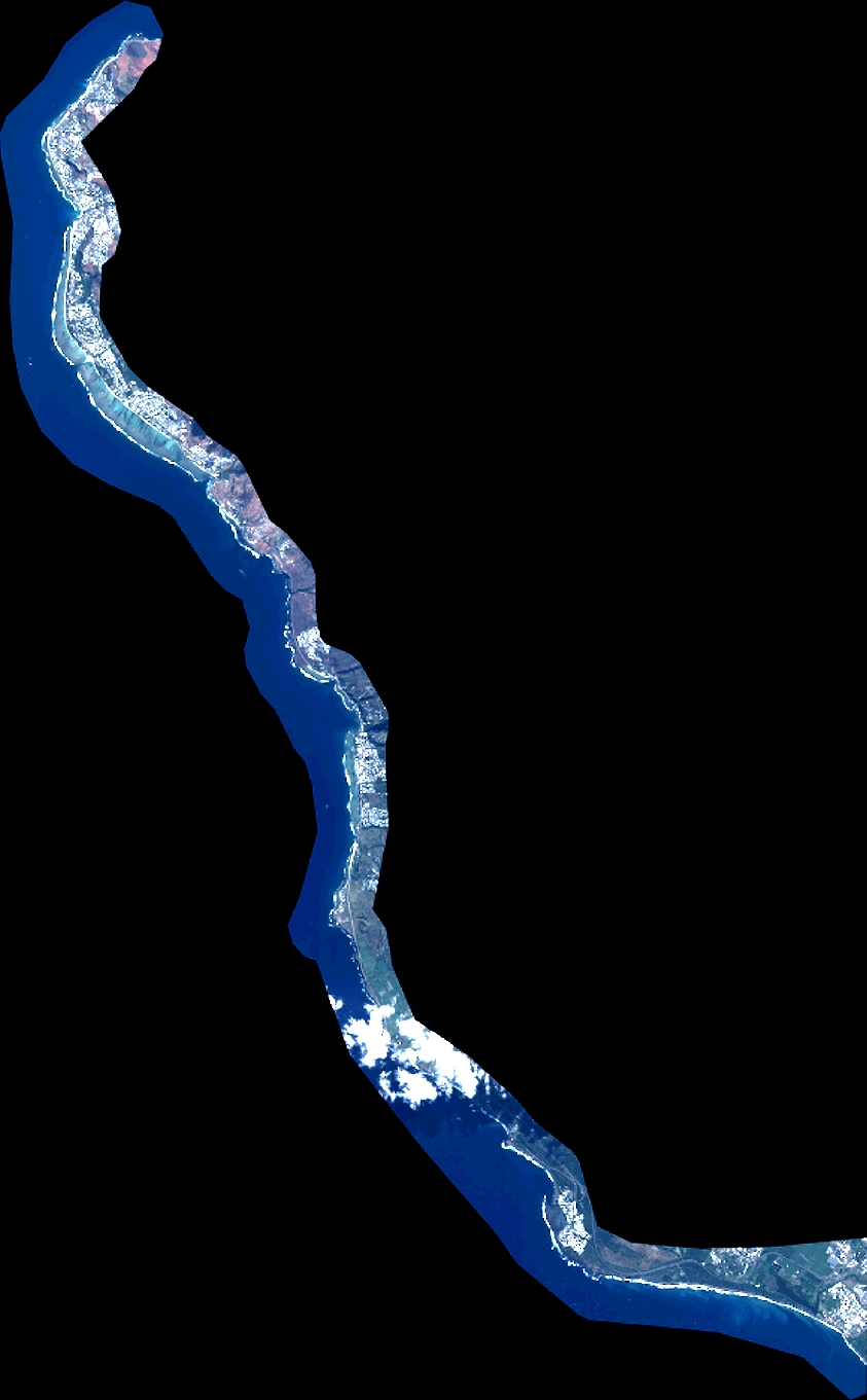
Quicklook
Copyright