TYPE:
SENSOR
LAYER:
DS_PHR1A_201606120636498_FR1_PX_E055S22_0421_02598
FORMAT:
DIMAP
RASTER:
image/jp2
General Information
Map Name
Geometric Processing Level
Radiometric Processing Level
BASIC
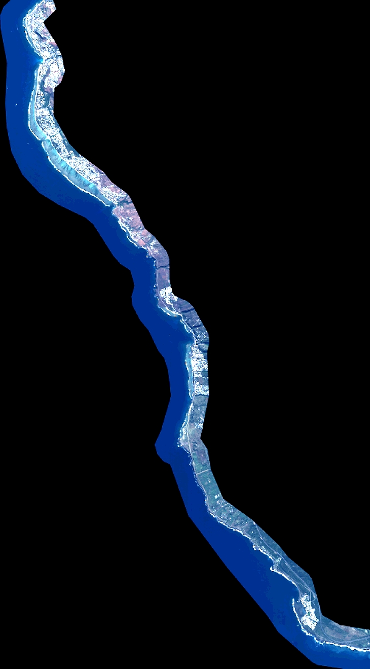
Image dimensions
Number of columns
8029
Number of rows
14508
Number of spectral bands
4
Dataset framing
Vertice
Longitude (DEG)
Latitude (DEG)
Row
Col
#1
55.20569503816731
-21.03062739976118
1
#2
55.36066744207935
-21.03089883893177
#3
55.36149072915892
-21.29177285100819
#4
55.20554641134713
-21.29184632115036
Dataset sources
PHR
Coordinate Reference System
Projected Coordinate System
Geocoding tables identification
EPSG(6.3)
Production
Production Date
2016-07-04T09:36:31.072
Job identification
1853922101-002
Dataset Producer Identification
AIRBUS DS GEO
Producer link
http://www.geo-airbusds.com
Quicklook
Copyright