TYPE:
SENSOR
LAYER:
SEN_SPOT6_20160525_060101000_000
FORMAT:
DIMAP
RASTER:
image/jp2
General Information
Map Name
Geometric Processing Level
Radiometric Processing Level
BASIC
Image dimensions
Number of columns
38593
Number of rows
43361
Number of spectral bands
1
Dataset framing
Vertice
Longitude (DEG)
Latitude (DEG)
Row
Col
#1
55.1639679711
-20.7729437764
#2
55.7857030922
-20.8043500939
#3
55.7841912006
-21.4602012771
#4
55.166184333
-21.4334364755
Dataset sources
SPOT
Coordinate Reference System
Projected Coordinate System
Geocoding tables identification
ITU(0.0)
Production
Production Date
2019-06-17T08:58:04.00Z
Job identification
SPOT6_20190617_08340417hd6ir3a0gxr_1
Dataset Producer Identification
"SRD GEOSUD / IRD, Irstea, IGN"
Producer link
http://geosud.teledetection.fr/
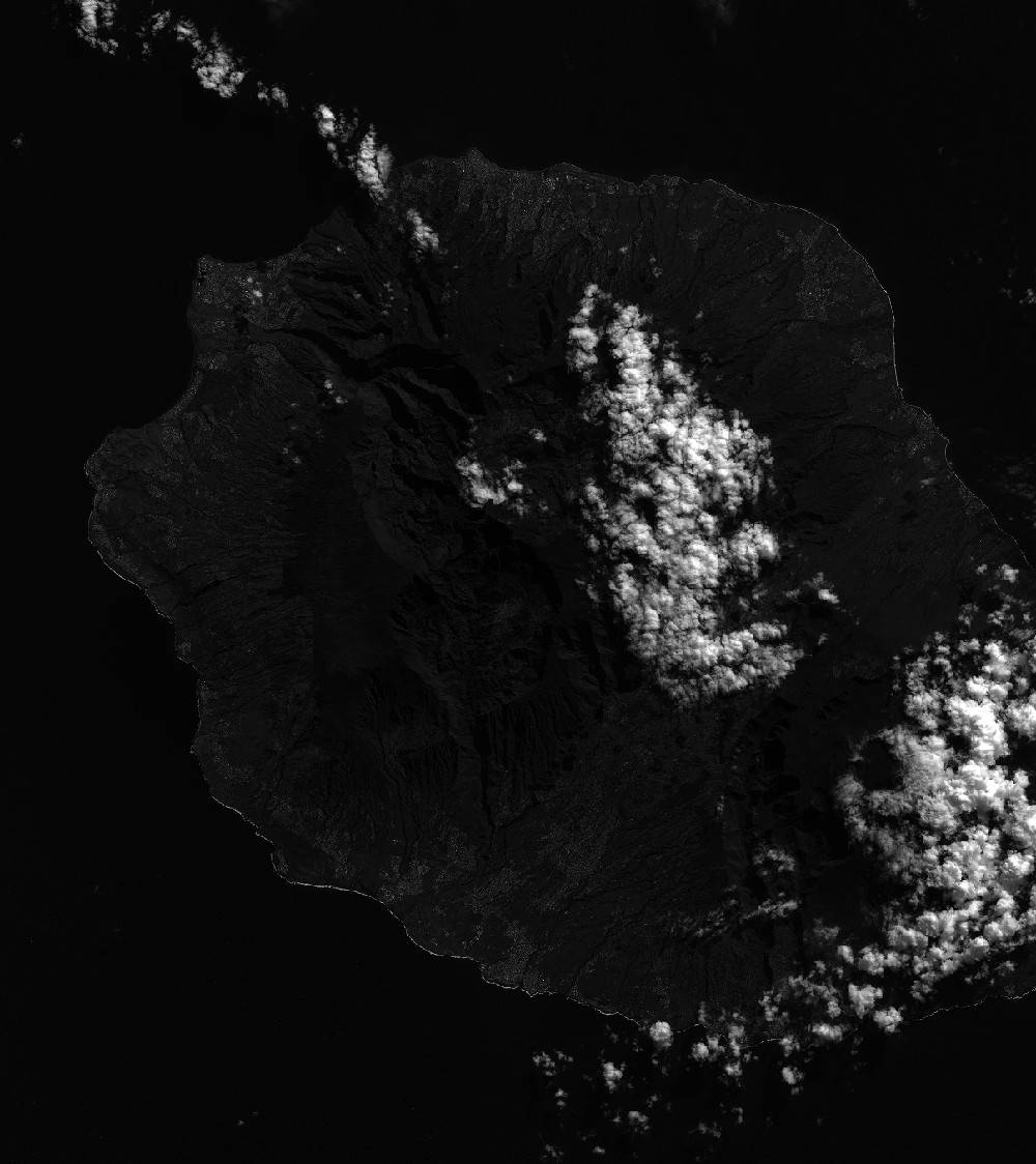
Quicklook
Copyright