TYPE:
SENSOR
LAYER:
SEN_SPOT6_20160525_060101000_000
FORMAT:
DIMAP
RASTER:
image/jp2
General Information
Map Name
Geometric Processing Level
Radiometric Processing Level
BASIC
Image dimensions
Number of columns
9648
Number of rows
10840
Number of spectral bands
4
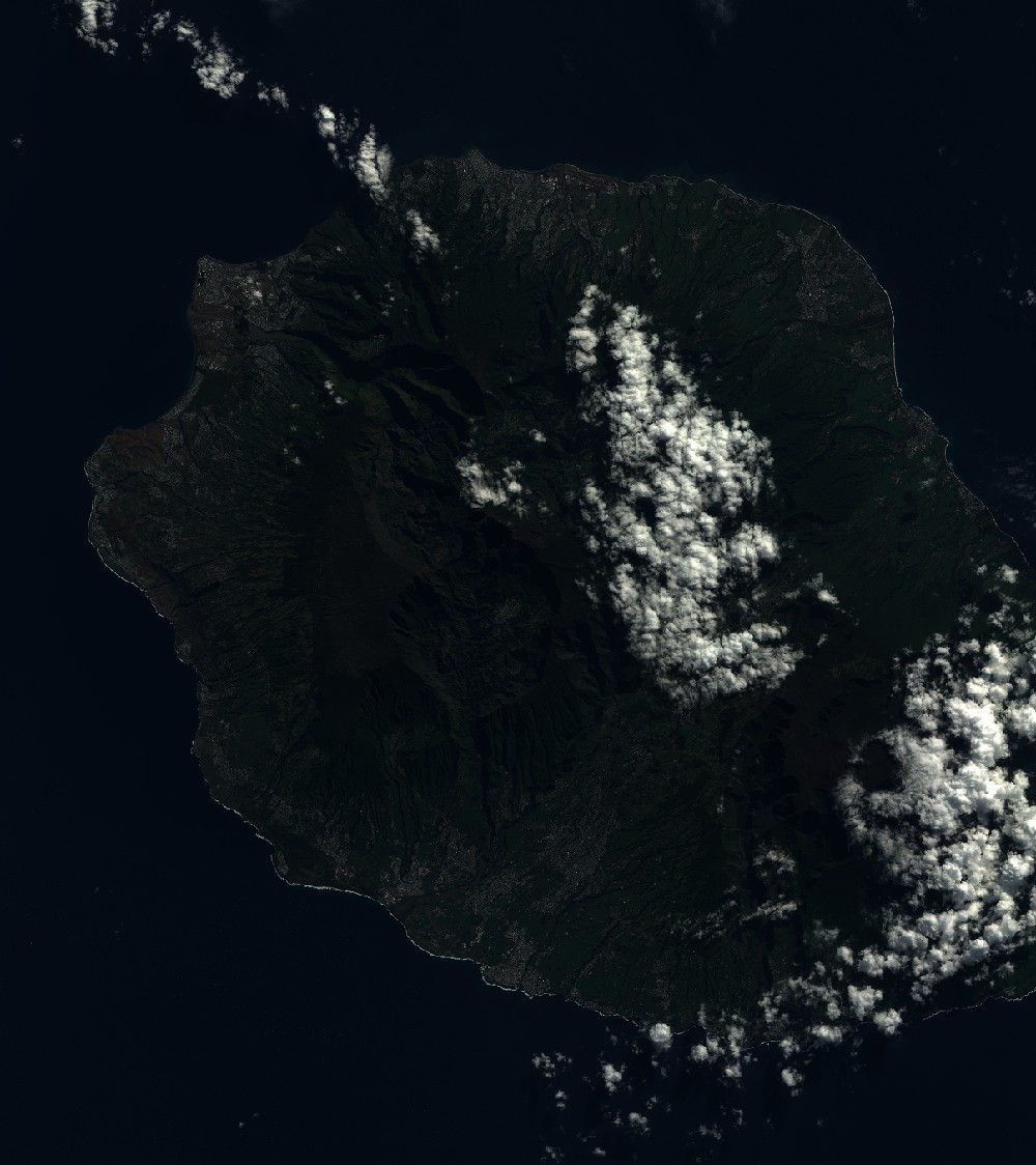
Dataset framing
Vertice
Longitude (DEG)
Latitude (DEG)
Row
Col
#1
55.1640009787
-20.772976031
1
#2
55.785671439
-20.8043788714
#3
55.7841598202
-21.4601697801
#4
55.1662168802
-21.4334075453
Dataset sources
SPOT
Coordinate Reference System
Projected Coordinate System
Geocoding tables identification
ITU(0.0)
Production
Production Date
2019-06-17T08:58:04.00Z
Job identification
SPOT6_20190617_08340417hd6ir3a0gxr_1
Dataset Producer Identification
"SRD GEOSUD / IRD, Irstea, IGN"
Producer link
http://geosud.teledetection.fr/
Quicklook
Copyright