TYPE:
SENSOR
LAYER:
DS_PHR1B_201605040636516_FR1_PX_E055S22_0422_01734
FORMAT:
DIMAP
RASTER:
image/jp2
General Information
Map Name
Geometric Processing Level
Radiometric Processing Level
BASIC
Image dimensions
Number of columns
4415
Number of rows
9600
Number of spectral bands
4
Dataset framing
Vertice
Longitude (DEG)
Latitude (DEG)
Row
Col
#1
55.2056587475349
-21.011151716468
1
#2
55.29358645046344
-21.00961946177006
#3
55.29369500735508
-21.19257649249023
#4
55.2056698510896
-21.19380074965374
Dataset sources
PHR
Coordinate Reference System
Projected Coordinate System
Geocoding tables identification
EPSG(6.3)
Production
Production Date
2016-05-13T10:04:26.373
Job identification
1776553101-002
Dataset Producer Identification
AIRBUS DS GEO
Producer link
http://www.geo-airbusds.com
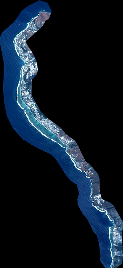
Quicklook
Copyright