TYPE:
SENSOR
LAYER:
DS_PHR1A_201603260636398_FR1_PX_E055S22_0617_01233
FORMAT:
DIMAP
RASTER:
image/jp2
General Information
Map Name
Geometric Processing Level
Radiometric Processing Level
BASIC
Image dimensions
Number of columns
37991
Number of rows
27308
Number of spectral bands
1
Dataset framing
Vertice
Longitude (DEG)
Latitude (DEG)
Row
Col
#1
55.36238251468635
-21.25163011265919
#2
55.55478735728795
-21.24778803505012
#3
55.55635400956449
-21.37879430826181
#4
55.36237065211331
-21.38486810070585
Dataset sources
PHR
Coordinate Reference System
Projected Coordinate System
Geocoding tables identification
EPSG(6.3)
Production
Production Date
2016-04-01T16:57:01.400
Job identification
1719550101-001
Dataset Producer Identification
AIRBUS DS GEO
Producer link
http://www.geo-airbusds.com
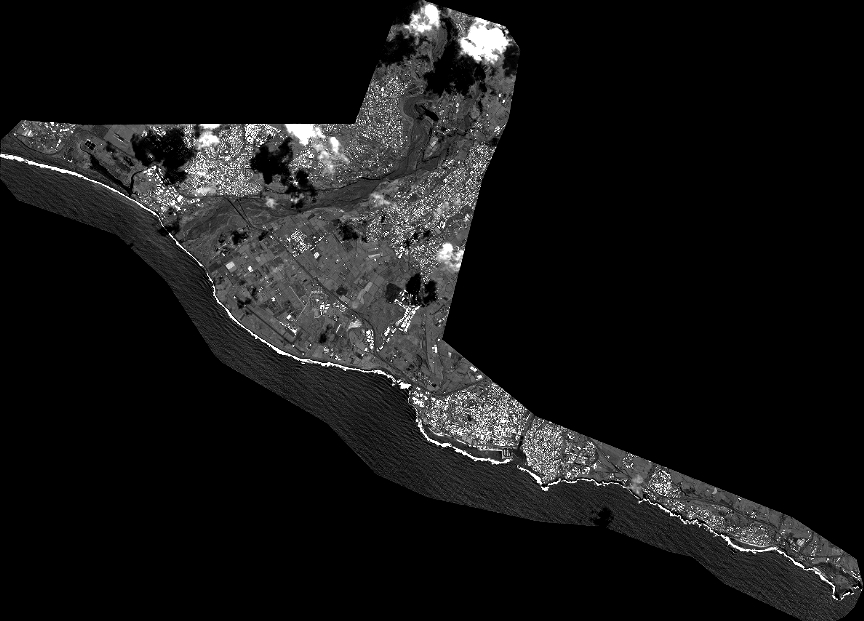
Quicklook
Copyright