TYPE:
SENSOR
LAYER:
DS_PHR1A_201603260636398_FR1_PX_E055S22_0617_01233
FORMAT:
DIMAP
RASTER:
image/jp2
General Information
Map Name
Geometric Processing Level
Radiometric Processing Level
BASIC
Image dimensions
Number of columns
9498
Number of rows
6827
Number of spectral bands
4
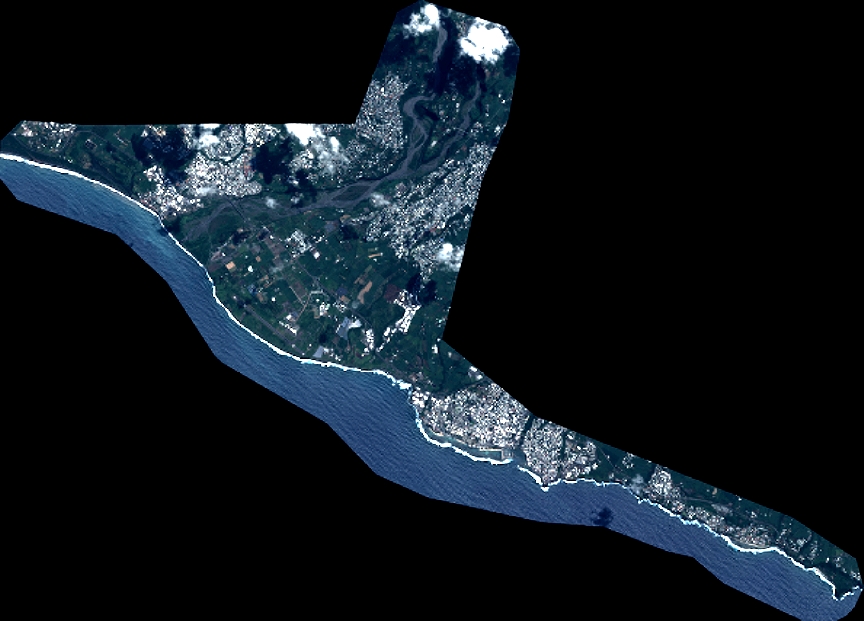
Dataset framing
Vertice
Longitude (DEG)
Latitude (DEG)
Row
Col
#1
55.36239005891046
-21.25163743522303
1
#2
55.55478488692115
-21.24779535895428
#3
55.55635142710028
-21.37878704317903
#4
55.36237827259337
-21.38486054845873
Dataset sources
PHR
Coordinate Reference System
Projected Coordinate System
Geocoding tables identification
EPSG(6.3)
Production
Production Date
2016-04-01T16:58:00.587
Job identification
1719550101-002
Dataset Producer Identification
AIRBUS DS GEO
Producer link
http://www.geo-airbusds.com
Quicklook
Copyright