TYPE:
SENSOR
LAYER:
DS_PHR1B_201603200631555_FR1_PX_E055S22_0422_01982
FORMAT:
DIMAP
RASTER:
image/jp2
General Information
Map Name
Geometric Processing Level
Radiometric Processing Level
BASIC
Image dimensions
Number of columns
17216
Number of rows
43735
Number of spectral bands
1
Dataset framing
Vertice
Longitude (DEG)
Latitude (DEG)
Row
Col
#1
55.2058043731855
-21.0124250679483
#2
55.29570256310295
-21.00786274133294
#3
55.29553652522502
-21.22276370515065
#4
55.20564601133714
-21.22794436666605
Dataset sources
PHR
Coordinate Reference System
Projected Coordinate System
Geocoding tables identification
EPSG(6.3)
Production
Production Date
2016-03-21T17:34:42.034
Job identification
1707009101-001
Dataset Producer Identification
AIRBUS DS GEO
Producer link
http://www.geo-airbusds.com
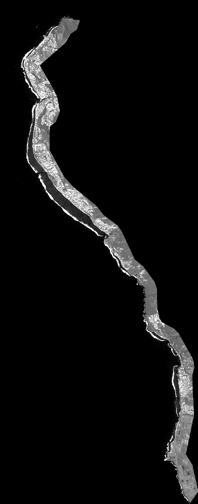
Quicklook
Copyright