TYPE:
SENSOR
LAYER:
DS_PHR1B_201603200631555_FR1_PX_E055S22_0422_01982
FORMAT:
DIMAP
RASTER:
image/jp2
General Information
Map Name
Geometric Processing Level
Radiometric Processing Level
BASIC
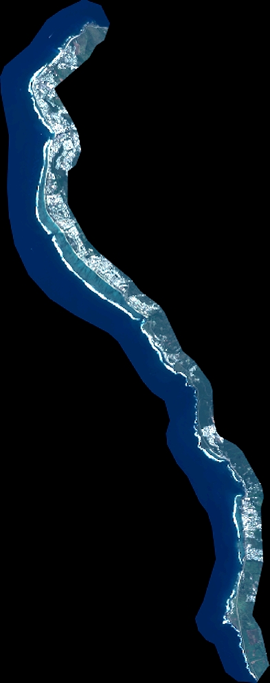
Image dimensions
Number of columns
4305
Number of rows
10934
Number of spectral bands
4
Dataset framing
Vertice
Longitude (DEG)
Latitude (DEG)
Row
Col
#1
55.20581221835693
-21.01243207064983
1
#2
55.29571636935382
-21.00786846017917
#3
55.29554988883748
-21.22276005133833
#4
55.20565386061747
-21.22794146185303
Dataset sources
PHR
Coordinate Reference System
Projected Coordinate System
Geocoding tables identification
EPSG(6.3)
Production
Production Date
2016-03-21T17:34:06.324
Job identification
1707009101-002
Dataset Producer Identification
AIRBUS DS GEO
Producer link
http://www.geo-airbusds.com
Quicklook
Copyright