TYPE:
SENSOR
LAYER:
SEN_SPOT7_20160126_151327300_000
FORMAT:
DIMAP
RASTER:
image/tiff
General Information
Map Name
Geometric Processing Level
Radiometric Processing Level
BASIC
Image dimensions
Number of columns
9652
Number of rows
8766
Number of spectral bands
4
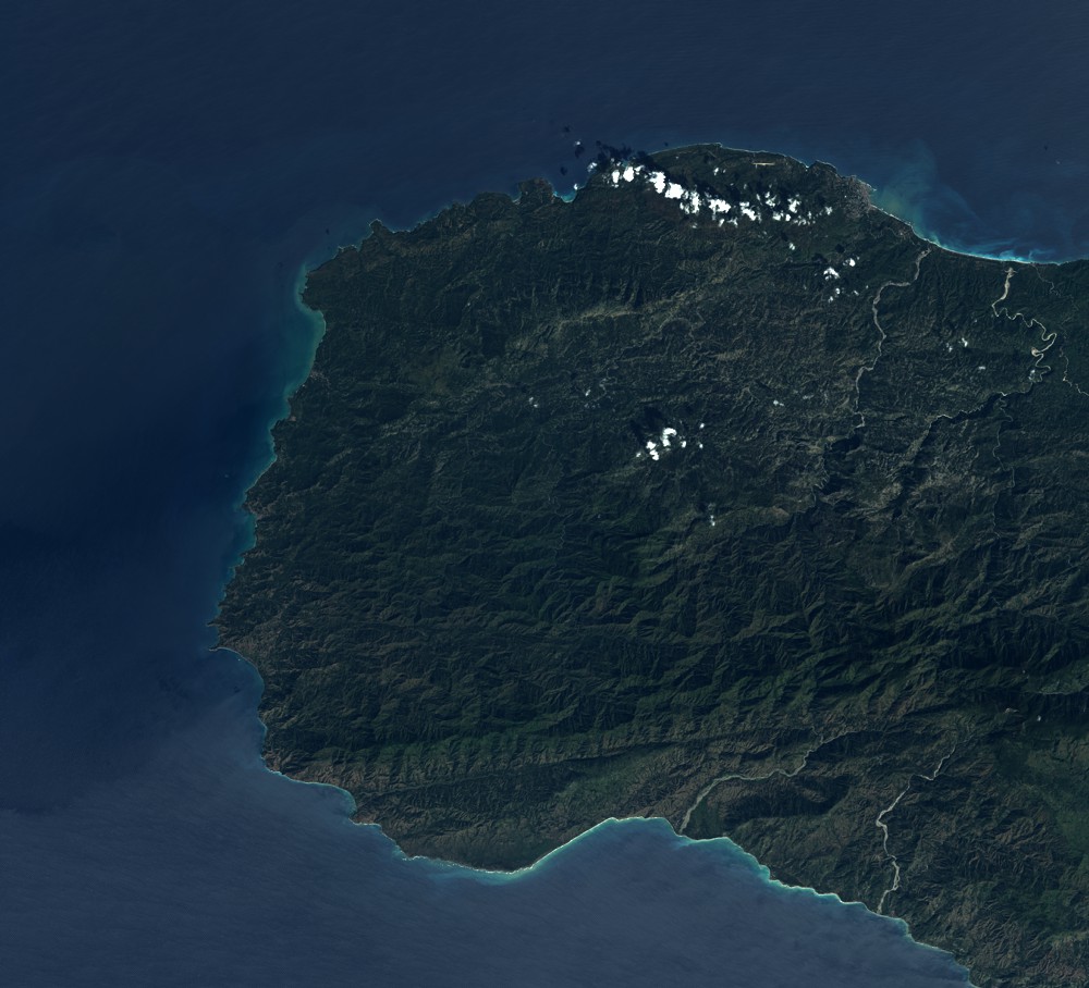
Dataset framing
Vertice
Longitude (DEG)
Latitude (DEG)
Row
Col
#1
-74.5928234503
18.7724374852
1
#2
-73.9879298277
18.7433773418
#3
-73.985995705
18.2042785784
#4
-74.5942360288
18.2374642464
Dataset sources
SPOT
Coordinate Reference System
Projected Coordinate System
Geocoding tables identification
ITU(0.0)
Production
Production Date
2017-04-04T13:28:52.00Z
Job identification
SPOT7_20170404_1309521jg99bt09scdc_1
Dataset Producer Identification
"SRD GEOSUD / IRD, Irstea, IGN"
Producer link
http://geosud.teledetection.fr/
Quicklook
Copyright