TYPE:
SENSOR
LAYER:
SEN_SPOT7_20160114_150624500_000
FORMAT:
DIMAP
RASTER:
image/tiff
General Information
Map Name
Geometric Processing Level
Radiometric Processing Level
BASIC
Image dimensions
Number of columns
9651
Number of rows
7682
Number of spectral bands
4
Dataset framing
Vertice
Longitude (DEG)
Latitude (DEG)
Row
Col
#1
-73.0598358223
18.5396666621
1
#2
-72.4561033334
18.5613133508
#3
-72.4547978417
18.1058033659
#4
-73.0607254808
18.0832282032
Dataset sources
SPOT
Coordinate Reference System
Projected Coordinate System
Geocoding tables identification
ITU(0.0)
Production
Production Date
2016-04-14T14:24:01.00Z
Job identification
SPOT7_20160414_1319371n0x0z8dp9f1k_1
Dataset Producer Identification
"SRD GEOSUD / IRD, Irstea, IGN"
Producer link
http://geosud.teledetection.fr/
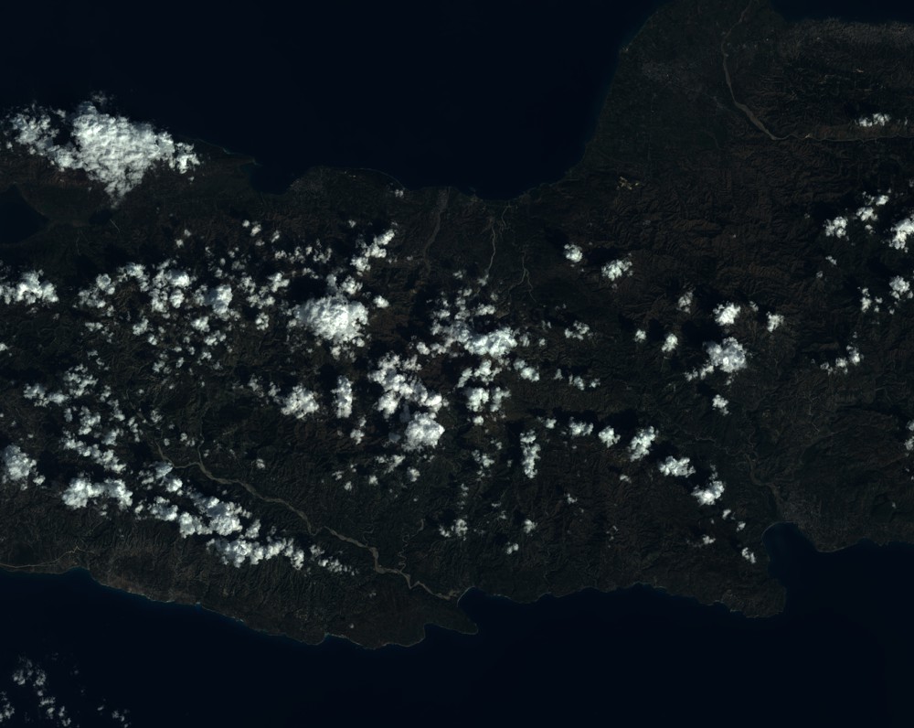
Quicklook
Copyright