TYPE:
SENSOR
LAYER:
SEN_SPOT7_20160114_150509000_000
FORMAT:
DIMAP
RASTER:
image/tiff
General Information
Map Name
Geometric Processing Level
Radiometric Processing Level
BASIC
Image dimensions
Number of columns
9652
Number of rows
8215
Number of spectral bands
4
Dataset framing
Vertice
Longitude (DEG)
Latitude (DEG)
Row
Col
#1
-72.5337584751
19.9057671074
1
#2
-71.9148470534
19.8743660803
#3
-71.9128906485
19.3391140339
#4
-72.5352102513
19.3759800831
Dataset sources
SPOT
Coordinate Reference System
Projected Coordinate System
Geocoding tables identification
ITU(0.0)
Production
Production Date
2016-04-14T13:58:23.00Z
Job identification
SPOT7_20160414_1319131qscsn641sfbn_1
Dataset Producer Identification
"SRD GEOSUD / IRD, Irstea, IGN"
Producer link
http://geosud.teledetection.fr/
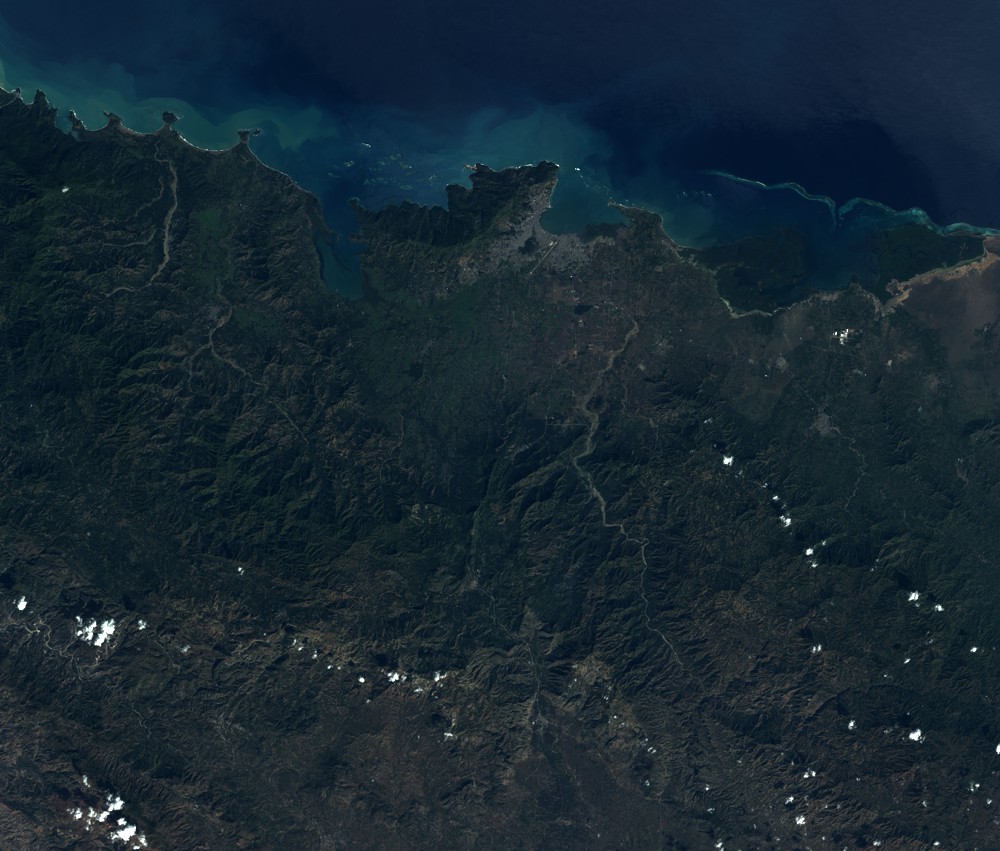
Quicklook
Copyright