TYPE:
SENSOR
LAYER:
SEN_SPOT7_20160114_150457100_000
FORMAT:
DIMAP
RASTER:
image/tiff
General Information
Map Name
Geometric Processing Level
Radiometric Processing Level
BASIC
Image dimensions
Number of columns
9652
Number of rows
5071
Number of spectral bands
4
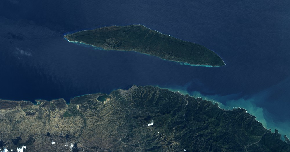
Dataset framing
Vertice
Longitude (DEG)
Latitude (DEG)
Row
Col
#1
-73.106997561
20.1468445682
1
#2
-72.4804931864
20.1415473231
#3
-72.4795769593
19.7954103403
#4
-73.1074291337
19.803957622
Dataset sources
SPOT
Coordinate Reference System
Projected Coordinate System
Geocoding tables identification
ITU(0.0)
Production
Production Date
2016-04-14T14:14:09.00Z
Job identification
SPOT7_20160414_1319001ue097vdbzedi_1
Dataset Producer Identification
"SRD GEOSUD / IRD, Irstea, IGN"
Producer link
http://geosud.teledetection.fr/
Quicklook
Copyright