TYPE:
SENSOR
LAYER:
SEN_SPOT6_20160110_144824600_000
FORMAT:
DIMAP
RASTER:
image/tiff
General Information
Map Name
Geometric Processing Level
Radiometric Processing Level
BASIC
Image dimensions
Number of columns
9652
Number of rows
10166
Number of spectral bands
4
Dataset framing
Vertice
Longitude (DEG)
Latitude (DEG)
Row
Col
#1
-72.1632440466
19.7673862135
1
#2
-71.4386115829
19.8135744193
#3
-71.4444731238
19.1728131855
#4
-72.156313352
19.1247014489
Dataset sources
SPOT
Coordinate Reference System
Projected Coordinate System
Geocoding tables identification
ITU(0.0)
Production
Production Date
2016-04-14T14:12:28.00Z
Job identification
SPOT6_20160414_1316441oauexpjpyo41_1
Dataset Producer Identification
"SRD GEOSUD / IRD, Irstea, IGN"
Producer link
http://geosud.teledetection.fr/
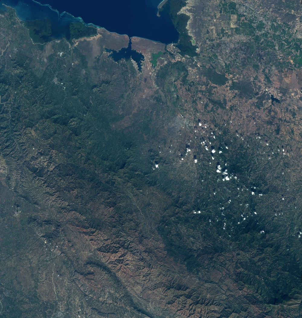
Quicklook
Copyright