TYPE:
SENSOR
LAYER:
SEN_SPOT7_20160109_145504100_000
FORMAT:
DIMAP
RASTER:
image/tiff
General Information
Map Name
Geometric Processing Level
Radiometric Processing Level
BASIC
Image dimensions
Number of columns
38609
Number of rows
40793
Number of spectral bands
1
Dataset framing
Vertice
Longitude (DEG)
Latitude (DEG)
Row
Col
#1
-72.5430939615
19.4264351893
#2
-71.9141136706
19.3878536417
#3
-71.9185115229
18.7139603702
#4
-72.5378129691
18.7453084888
Dataset sources
SPOT
Coordinate Reference System
Projected Coordinate System
Geocoding tables identification
ITU(0.0)
Production
Production Date
2016-04-15T09:52:34.00Z
Job identification
SPOT7_20160415_0819361jf5w5b0zy04m_1
Dataset Producer Identification
"SRD GEOSUD / IRD, Irstea, IGN"
Producer link
http://geosud.teledetection.fr/
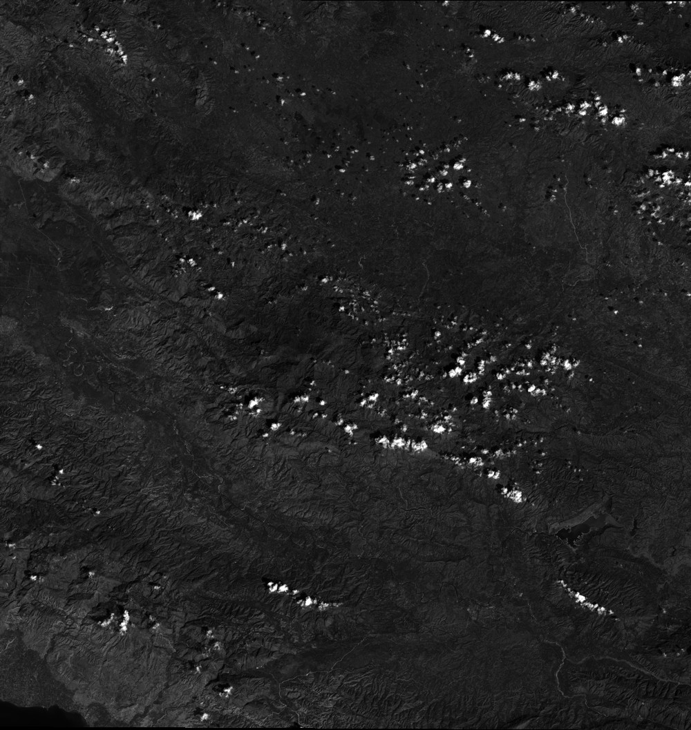
Quicklook
Copyright