TYPE:
SENSOR
LAYER:
SEN_SPOT7_20160109_145450100_000
FORMAT:
DIMAP
RASTER:
image/tiff
General Information
Map Name
Geometric Processing Level
Radiometric Processing Level
BASIC
Image dimensions
Number of columns
38609
Number of rows
25793
Number of spectral bands
1
Dataset framing
Vertice
Longitude (DEG)
Latitude (DEG)
Row
Col
#1
-73.5858049404
20.0271100294
#2
-72.9090326387
19.9471173461
#3
-72.9132622828
19.5218146541
#4
-73.5809687267
19.5961258476
Dataset sources
SPOT
Coordinate Reference System
Projected Coordinate System
Geocoding tables identification
ITU(0.0)
Production
Production Date
2016-04-15T09:58:13.00Z
Job identification
SPOT7_20160415_0819231qdzgwu3pt9jb_1
Dataset Producer Identification
"SRD GEOSUD / IRD, Irstea, IGN"
Producer link
http://geosud.teledetection.fr/
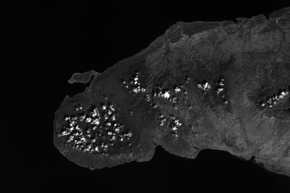
Quicklook
Copyright