TYPE:
SENSOR
LAYER:
SEN_SPOT7_20160109_145408000_000
FORMAT:
DIMAP
RASTER:
image/tiff
General Information
Map Name
Geometric Processing Level
Radiometric Processing Level
BASIC
Image dimensions
Number of columns
38609
Number of rows
40685
Number of spectral bands
1
Dataset framing
Vertice
Longitude (DEG)
Latitude (DEG)
Row
Col
#1
-73.0876436157
20.0041479457
#2
-72.4443251621
20.0132760515
#3
-72.4489559644
19.4125860677
#4
-73.082247791
19.4028689968
Dataset sources
SPOT
Coordinate Reference System
Projected Coordinate System
Geocoding tables identification
ITU(0.0)
Production
Production Date
2016-04-15T10:05:05.00Z
Job identification
SPOT7_20160415_0818351ikuxg2cst0id_1
Dataset Producer Identification
"SRD GEOSUD / IRD, Irstea, IGN"
Producer link
http://geosud.teledetection.fr/
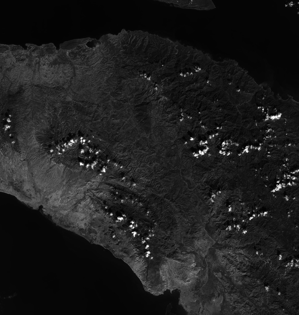
Quicklook
Copyright