TYPE:
SENSOR
LAYER:
SEN_SPOT7_20160109_145512400_000
FORMAT:
DIMAP
RASTER:
image/tiff
General Information
Map Name
Geometric Processing Level
Radiometric Processing Level
BASIC
Image dimensions
Number of columns
9652
Number of rows
10166
Number of spectral bands
4
Dataset framing
Vertice
Longitude (DEG)
Latitude (DEG)
Row
Col
#1
-72.5382900178
18.8278584894
1
#2
-71.917992303
18.7956721317
#3
-71.9219104456
18.1321620464
#4
-72.5335997763
18.1577689691
Dataset sources
SPOT
Coordinate Reference System
Projected Coordinate System
Geocoding tables identification
ITU(0.0)
Production
Production Date
2016-04-14T14:05:49.00Z
Job identification
SPOT7_20160414_131447ztxaneuq8vea_1
Dataset Producer Identification
"SRD GEOSUD / IRD, Irstea, IGN"
Producer link
http://geosud.teledetection.fr/
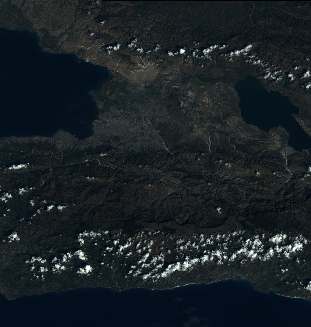
Quicklook
Copyright