TYPE:
SENSOR
LAYER:
SEN_SPOT7_20160109_145504100_000
FORMAT:
DIMAP
RASTER:
image/tiff
General Information
Map Name
Geometric Processing Level
Radiometric Processing Level
BASIC
Image dimensions
Number of columns
9652
Number of rows
10198
Number of spectral bands
4
Dataset framing
Vertice
Longitude (DEG)
Latitude (DEG)
Row
Col
#1
-72.5430606154
19.4263994953
1
#2
-71.9141460191
19.3878223204
#3
-71.9185430185
18.7139947724
#4
-72.5377807254
18.7453399782
Dataset sources
SPOT
Coordinate Reference System
Projected Coordinate System
Geocoding tables identification
ITU(0.0)
Production
Production Date
2016-04-14T13:45:47.00Z
Job identification
SPOT7_20160414_1314331jdj0wuwt9ele_1
Dataset Producer Identification
"SRD GEOSUD / IRD, Irstea, IGN"
Producer link
http://geosud.teledetection.fr/
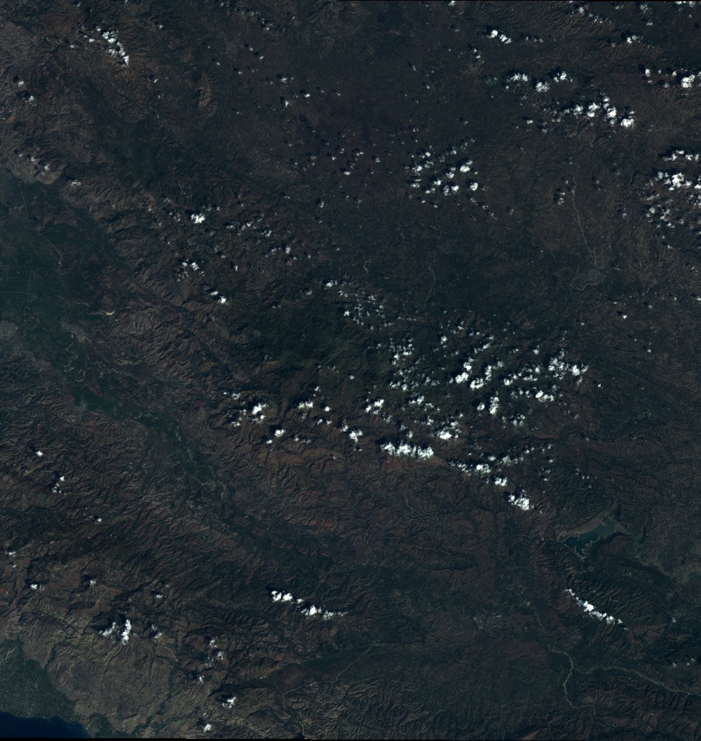
Quicklook
Copyright