TYPE:
SENSOR
LAYER:
SEN_SPOT7_20160109_145450100_000
FORMAT:
DIMAP
RASTER:
image/tiff
General Information
Map Name
Geometric Processing Level
Radiometric Processing Level
BASIC
Image dimensions
Number of columns
9652
Number of rows
6448
Number of spectral bands
4
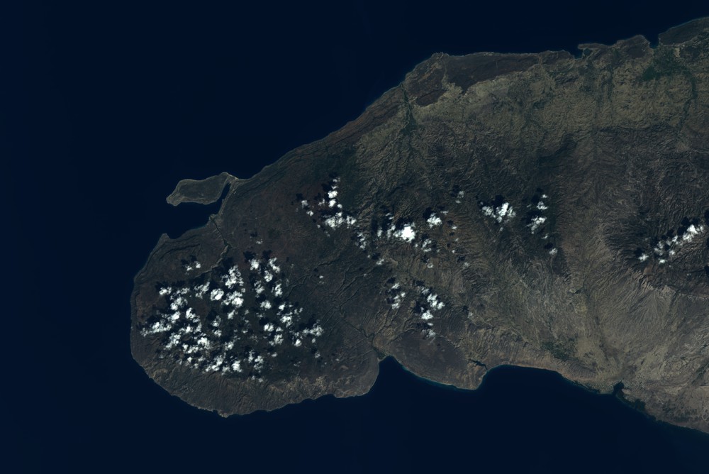
Dataset framing
Vertice
Longitude (DEG)
Latitude (DEG)
Row
Col
#1
-73.5857682038
20.0270722817
1
#2
-72.9090668036
19.9470883405
#3
-72.9132953877
19.5218513252
#4
-73.5809332803
19.5961552467
Dataset sources
SPOT
Coordinate Reference System
Projected Coordinate System
Geocoding tables identification
ITU(0.0)
Production
Production Date
2016-04-14T13:31:35.00Z
Job identification
SPOT7_20160414_13141714dswjlgfpq4n_1
Dataset Producer Identification
"SRD GEOSUD / IRD, Irstea, IGN"
Producer link
http://geosud.teledetection.fr/
Quicklook
Copyright