TYPE:
SENSOR
LAYER:
SEN_SPOT7_20160109_145417300_000
FORMAT:
DIMAP
RASTER:
image/tiff
General Information
Map Name
Geometric Processing Level
Radiometric Processing Level
BASIC
Image dimensions
Number of columns
9652
Number of rows
10176
Number of spectral bands
4
Dataset framing
Vertice
Longitude (DEG)
Latitude (DEG)
Row
Col
#1
-73.08248886
19.4071904116
1
#2
-72.4491275001
19.4169048385
#3
-72.4534858425
18.8186125746
#4
-73.0774134079
18.8085323348
Dataset sources
SPOT
Coordinate Reference System
Projected Coordinate System
Geocoding tables identification
ITU(0.0)
Production
Production Date
2016-04-14T13:47:43.00Z
Job identification
SPOT7_20160414_1312331r75po6v7hic9_1
Dataset Producer Identification
"SRD GEOSUD / IRD, Irstea, IGN"
Producer link
http://geosud.teledetection.fr/
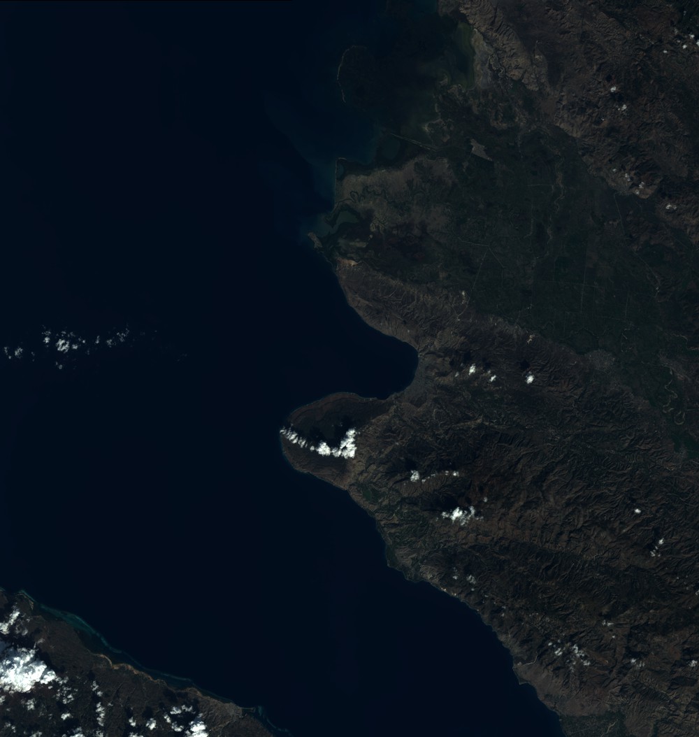
Quicklook
Copyright