TYPE:
SENSOR
LAYER:
SEN_SPOT7_20160109_145346000_000
FORMAT:
DIMAP
RASTER:
image/tiff
General Information
Map Name
Geometric Processing Level
Radiometric Processing Level
BASIC
Image dimensions
Number of columns
9652
Number of rows
10229
Number of spectral bands
4
Dataset framing
Vertice
Longitude (DEG)
Latitude (DEG)
Row
Col
#1
-72.1273647095
18.6751891348
1
#2
-71.4620797517
18.7514651103
#3
-71.4622523187
18.0152241684
#4
-72.126431452
17.9404105787
Dataset sources
SPOT
Coordinate Reference System
Projected Coordinate System
Geocoding tables identification
ITU(0.0)
Production
Production Date
2016-04-14T13:52:47.00Z
Job identification
SPOT7_20160414_1312051iq4hiq54l2ho_1
Dataset Producer Identification
"SRD GEOSUD / IRD, Irstea, IGN"
Producer link
http://geosud.teledetection.fr/
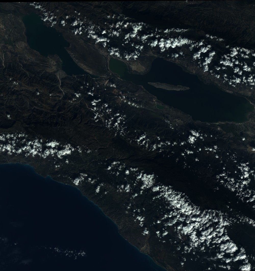
Quicklook
Copyright