TYPE:
SENSOR
LAYER:
SEN_SPOT6_20160108_150359100_000
FORMAT:
DIMAP
RASTER:
image/tiff
General Information
Map Name
Geometric Processing Level
Radiometric Processing Level
BASIC
Image dimensions
Number of columns
38609
Number of rows
40685
Number of spectral bands
1
Dataset framing
Vertice
Longitude (DEG)
Latitude (DEG)
Row
Col
#1
-72.9529054177
19.5213838465
#2
-72.3814062092
19.520920785
#3
-72.3817249082
18.950204693
#4
-72.952018058
18.9501954065
Dataset sources
SPOT
Coordinate Reference System
Projected Coordinate System
Geocoding tables identification
ITU(0.0)
Production
Production Date
2016-04-15T09:34:49.00Z
Job identification
SPOT6_20160415_0816201ukmbzkd6eena_1
Dataset Producer Identification
"SRD GEOSUD / IRD, Irstea, IGN"
Producer link
http://geosud.teledetection.fr/
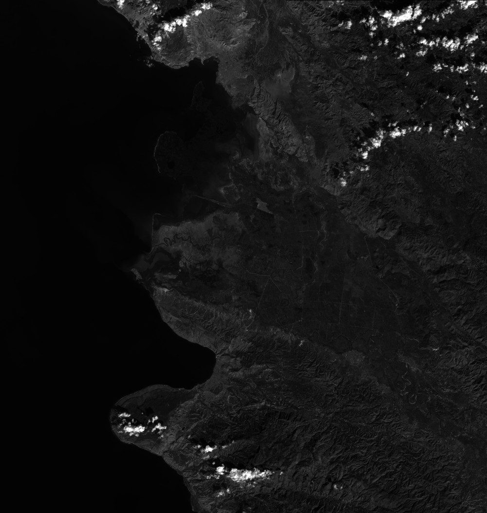
Quicklook
Copyright