TYPE:
SENSOR
LAYER:
SEN_SPOT6_20160108_150359100_000
FORMAT:
DIMAP
RASTER:
image/tiff
General Information
Map Name
Geometric Processing Level
Radiometric Processing Level
BASIC
Image dimensions
Number of columns
9652
Number of rows
10171
Number of spectral bands
4
Dataset framing
Vertice
Longitude (DEG)
Latitude (DEG)
Row
Col
#1
-72.9528758199
19.5213557995
1
#2
-72.3814359077
19.5208928103
#3
-72.3817545702
18.9502328021
#4
-72.9519886667
18.9502235386
Dataset sources
SPOT
Coordinate Reference System
Projected Coordinate System
Geocoding tables identification
ITU(0.0)
Production
Production Date
2016-04-14T13:13:42.00Z
Job identification
SPOT6_20160414_1233191n69jbwjl9et8_1
Dataset Producer Identification
"SRD GEOSUD / IRD, Irstea, IGN"
Producer link
http://geosud.teledetection.fr/
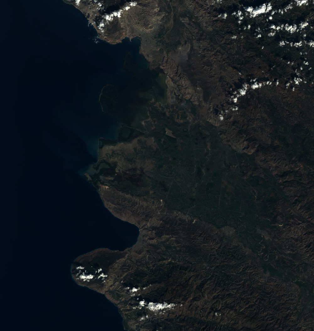
Quicklook
Copyright