TYPE:
SENSOR
LAYER:
SEN_SPOT6_20160108_150336700_000
FORMAT:
DIMAP
RASTER:
image/tiff
General Information
Map Name
Geometric Processing Level
Radiometric Processing Level
BASIC
Image dimensions
Number of columns
9651
Number of rows
11319
Number of spectral bands
4
Dataset framing
Vertice
Longitude (DEG)
Latitude (DEG)
Row
Col
#1
-72.090851233
18.6995787394
1
#2
-71.4868989074
18.67543008
#3
-71.4847536679
17.9611606115
#4
-72.0922257463
17.9915340745
Dataset sources
SPOT
Coordinate Reference System
Projected Coordinate System
Geocoding tables identification
ITU(0.0)
Production
Production Date
2016-04-14T13:26:10.00Z
Job identification
SPOT6_20160414_12293415x71bx2yr9ry_1
Dataset Producer Identification
"SRD GEOSUD / IRD, Irstea, IGN"
Producer link
http://geosud.teledetection.fr/
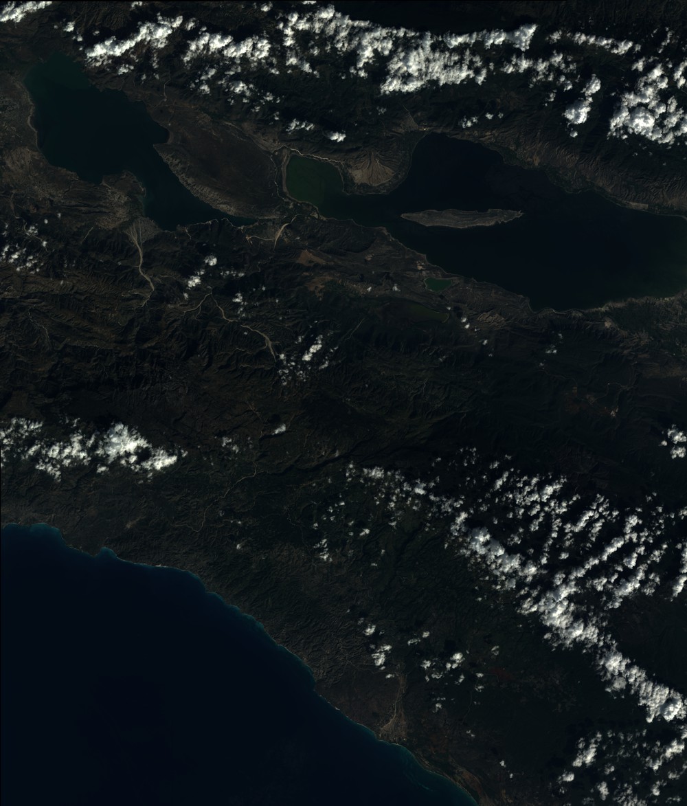
Quicklook
Copyright