TYPE:
SENSOR
LAYER:
SEN_SPOT6_20160108_150308500_000
FORMAT:
DIMAP
RASTER:
image/tiff
General Information
Map Name
Geometric Processing Level
Radiometric Processing Level
BASIC
Image dimensions
Number of columns
9652
Number of rows
10225
Number of spectral bands
4
Dataset framing
Vertice
Longitude (DEG)
Latitude (DEG)
Row
Col
#1
-72.5541264353
18.9238739393
1
#2
-71.90008401
18.9305583508
#3
-71.8961243428
18.1451708482
#4
-72.5571919011
18.1469790195
Dataset sources
SPOT
Coordinate Reference System
Projected Coordinate System
Geocoding tables identification
ITU(0.0)
Production
Production Date
2016-04-14T13:35:19.00Z
Job identification
SPOT6_20160414_122849141mrw5jz4yap_1
Dataset Producer Identification
"SRD GEOSUD / IRD, Irstea, IGN"
Producer link
http://geosud.teledetection.fr/
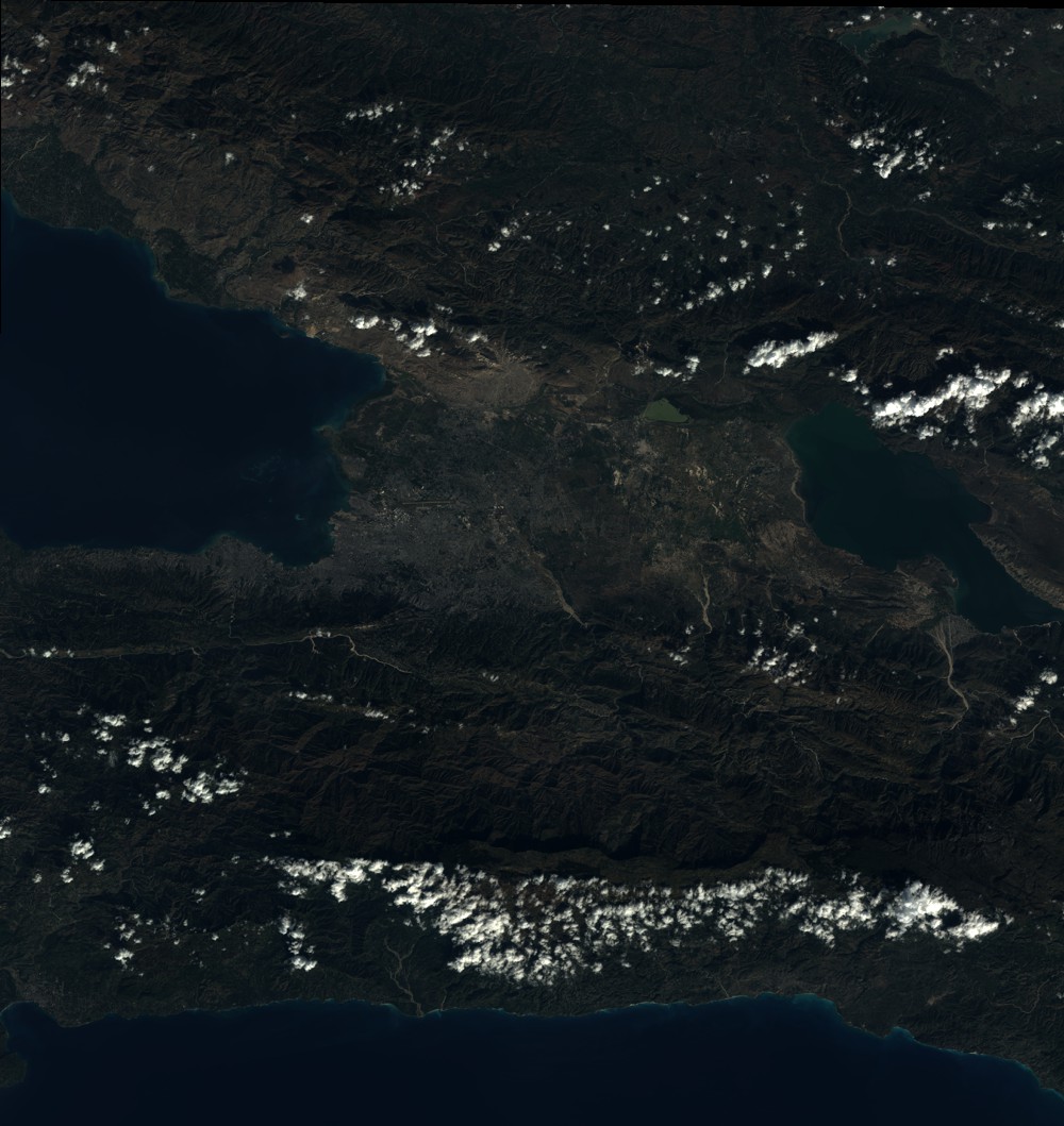
Quicklook
Copyright