TYPE:
SENSOR
LAYER:
SEN_SPOT7_20160107_150959400_000
FORMAT:
DIMAP
RASTER:
image/tiff
General Information
Map Name
Geometric Processing Level
Radiometric Processing Level
BASIC
Image dimensions
Number of columns
38461
Number of rows
32901
Number of spectral bands
1
Dataset framing
Vertice
Longitude (DEG)
Latitude (DEG)
Row
Col
#1
-73.000153106
19.4880750926
#2
-72.323753984
19.5553246986
#3
-72.3216499699
19.0215509177
#4
-73.001840383
18.9545495576
Dataset sources
SPOT
Coordinate Reference System
Projected Coordinate System
Geocoding tables identification
ITU(0.0)
Production
Production Date
2016-04-15T09:45:21.00Z
Job identification
SPOT7_20160415_0814311c5afotcedw4t_1
Dataset Producer Identification
"SRD GEOSUD / IRD, Irstea, IGN"
Producer link
http://geosud.teledetection.fr/
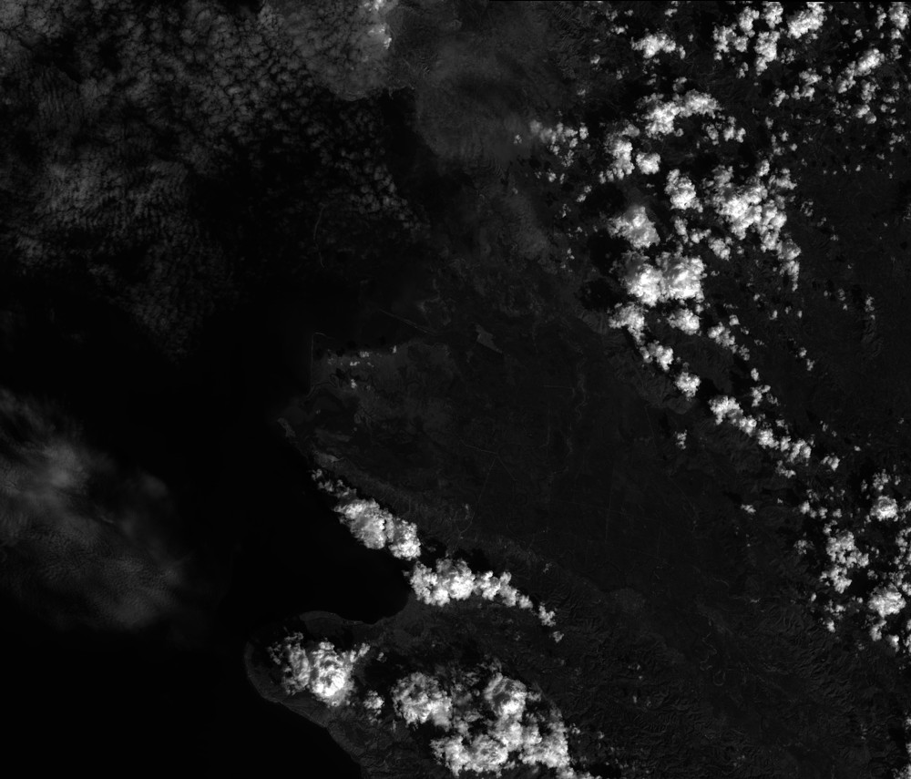
Quicklook
Copyright