TYPE:
SENSOR
LAYER:
SEN_SPOT7_20160107_150910000_000
FORMAT:
DIMAP
RASTER:
image/tiff
General Information
Map Name
Geometric Processing Level
Radiometric Processing Level
BASIC
Image dimensions
Number of columns
38609
Number of rows
40857
Number of spectral bands
1
Dataset framing
Vertice
Longitude (DEG)
Latitude (DEG)
Row
Col
#1
-72.131361606
18.7181538806
#2
-71.4356022674
18.6291225002
#3
-71.4286781239
17.931412891
#4
-72.1369504363
18.0318805062
Dataset sources
SPOT
Coordinate Reference System
Projected Coordinate System
Geocoding tables identification
ITU(0.0)
Production
Production Date
2016-04-15T09:28:28.00Z
Job identification
SPOT7_20160415_08134713w769yfe3tg2_1
Dataset Producer Identification
"SRD GEOSUD / IRD, Irstea, IGN"
Producer link
http://geosud.teledetection.fr/
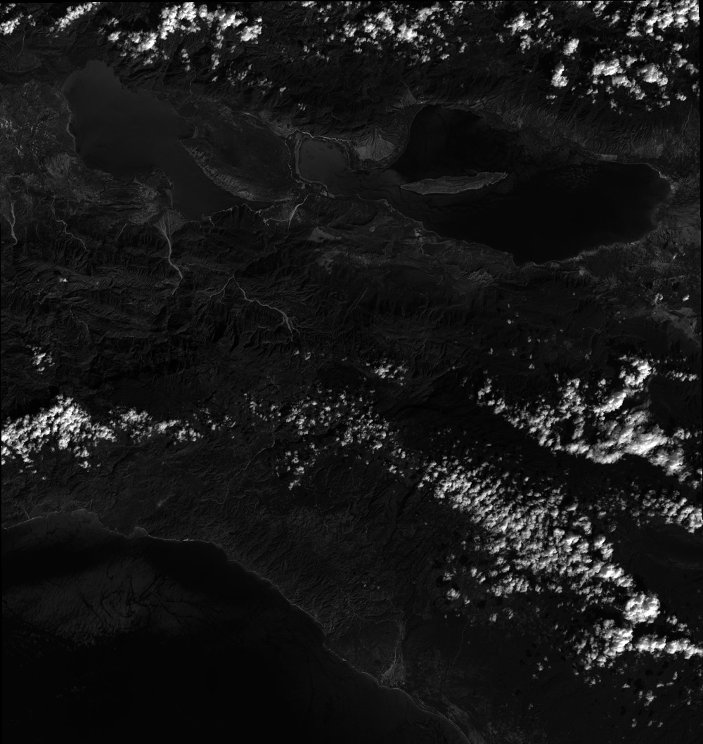
Quicklook
Copyright