TYPE:
SENSOR
LAYER:
SEN_SPOT7_20160107_150910000_000
FORMAT:
DIMAP
RASTER:
image/tiff
General Information
Map Name
Geometric Processing Level
Radiometric Processing Level
BASIC
Image dimensions
Number of columns
9652
Number of rows
10214
Number of spectral bands
4
Dataset framing
Vertice
Longitude (DEG)
Latitude (DEG)
Row
Col
#1
-72.1313272325
18.7181162657
1
#2
-71.435639478
18.6290936043
#3
-71.4287167915
17.9314529534
#4
-72.1369149867
18.0319095398
Dataset sources
SPOT
Coordinate Reference System
Projected Coordinate System
Geocoding tables identification
ITU(0.0)
Production
Production Date
2016-04-14T13:00:36.00Z
Job identification
SPOT7_20160414_1217501grhyn6msson4_1
Dataset Producer Identification
"SRD GEOSUD / IRD, Irstea, IGN"
Producer link
http://geosud.teledetection.fr/
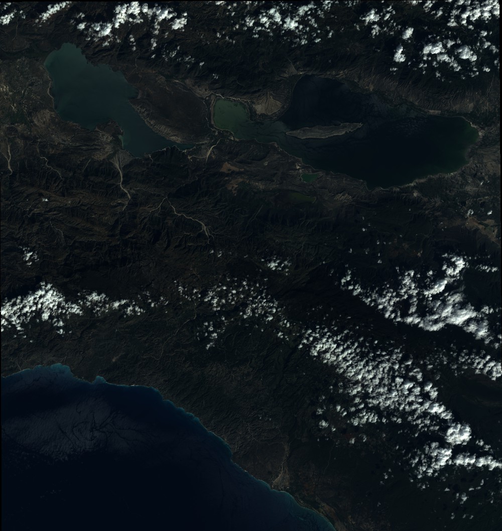
Quicklook
Copyright