TYPE:
SENSOR
LAYER:
SEN_SPOT7_20160107_150841600_000
FORMAT:
DIMAP
RASTER:
image/tiff
General Information
Map Name
Geometric Processing Level
Radiometric Processing Level
BASIC
Image dimensions
Number of columns
9652
Number of rows
5086
Number of spectral bands
4
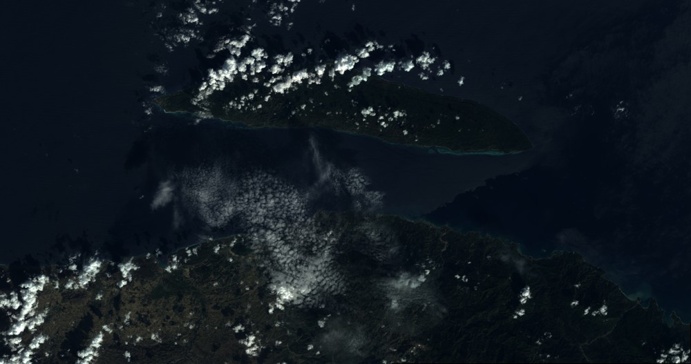
Dataset framing
Vertice
Longitude (DEG)
Latitude (DEG)
Row
Col
#1
-73.1074090781
20.1657500139
1
#2
-72.4752891438
20.121663732
#3
-72.4735459414
19.7843478808
#4
-73.1085341563
19.832359977
Dataset sources
SPOT
Coordinate Reference System
Projected Coordinate System
Geocoding tables identification
ITU(0.0)
Production
Production Date
2016-04-14T12:47:20.00Z
Job identification
SPOT7_20160414_1216591ro00v4s2nwc2_1
Dataset Producer Identification
"SRD GEOSUD / IRD, Irstea, IGN"
Producer link
http://geosud.teledetection.fr/
Quicklook
Copyright