TYPE:
ORTHO
LAYER:
DS_PHR1A_201511231532573_FR1_PX_W073N19_1009_01799
FORMAT:
DIMAP
RASTER:
image/jp2
General Information
Map Name
Geometric Processing Level
Radiometric Processing Level
BASIC
Image dimensions
Number of columns
29469
Number of rows
39860
Number of spectral bands
4
Dataset framing
Vertice
Longitude (DEG)
Latitude (DEG)
Row
Col
#1
-72.31017732730916
19.43101354126848
1
#2
-72.16998596819275
19.42888069821489
#3
-72.17308659521996
19.24899137199321
#4
-72.31312482020147
19.25110294694457
Dataset sources
PHR
Coordinate Reference System
Projected Coordinate System
Geocoding tables identification
EPSG(6.3)
Projected Coordinate System name
32618
Projected Coordinate System code
urn:ogc:def:crs:EPSG::32618
Geoposition
Upper - Left Map X Coordinate
782447.5
Upper - Left Map Y Coordinate
2150726.5
Image sampling
0.5 x 0.5
Production
Production Date
2015-12-03T16:02:34.076
Job identification
1607728101-001
Dataset Producer Identification
AIRBUS DS GEO
Producer link
http://www.geo-airbusds.com
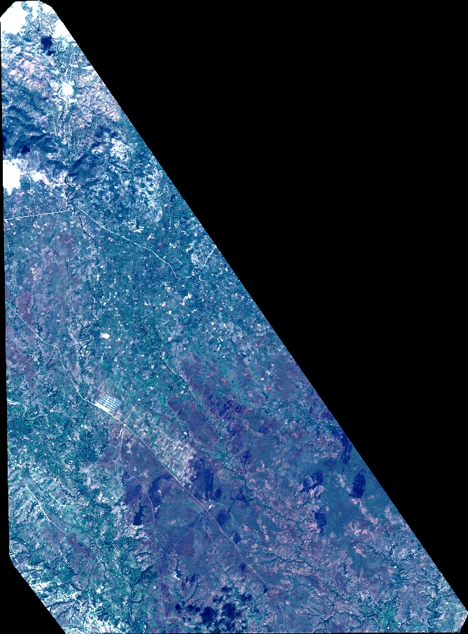
Quicklook
Copyright