TYPE:
ORTHO
LAYER:
DS_PHR1A_201511231533269_FR1_PX_W073N18_1016_01250
FORMAT:
DIMAP
RASTER:
image/jp2
General Information
Map Name
Geometric Processing Level
Radiometric Processing Level
BASIC
Image dimensions
Number of columns
13970
Number of rows
27615
Number of spectral bands
4
Dataset framing
Vertice
Longitude (DEG)
Latitude (DEG)
Row
Col
#1
-72.2390482849582
18.69784355360374
1
#2
-72.17288518972494
18.69685711947522
#3
-72.17494743892956
18.57222150003097
#4
-72.24106242239955
18.57320088979841
Dataset sources
PHR
Coordinate Reference System
Projected Coordinate System
Geocoding tables identification
EPSG(6.3)
Projected Coordinate System name
32618
Projected Coordinate System code
urn:ogc:def:crs:EPSG::32618
Geoposition
Upper - Left Map X Coordinate
791200
Upper - Left Map Y Coordinate
2069646
Image sampling
0.5 x 0.5
Production
Production Date
2015-12-03T15:46:44.743
Job identification
1607731101-001
Dataset Producer Identification
AIRBUS DS GEO
Producer link
http://www.geo-airbusds.com
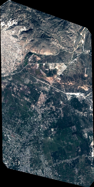
Quicklook
Copyright