TYPE:
ORTHO
LAYER:
DS_PHR1A_201511231533168_FR1_PX_W073N18_0917_01738
FORMAT:
DIMAP
RASTER:
image/jp2
General Information
Map Name
Geometric Processing Level
Radiometric Processing Level
BASIC
Image dimensions
Number of columns
40635
Number of rows
38021
Number of spectral bands
4
Dataset framing
Vertice
Longitude (DEG)
Latitude (DEG)
Row
Col
#1
-72.40293870419003
18.75553457708337
1
#2
-72.21039834812315
18.75276042555616
#3
-72.21320493047884
18.58115238566294
#4
-72.40555212403484
18.58389933686143
Dataset sources
PHR
Coordinate Reference System
Projected Coordinate System
Geocoding tables identification
EPSG(6.3)
Projected Coordinate System name
32618
Projected Coordinate System code
urn:ogc:def:crs:EPSG::32618
Geoposition
Upper - Left Map X Coordinate
773811.5
Upper - Left Map Y Coordinate
2075775
Image sampling
0.5 x 0.5
Production
Production Date
2015-12-03T15:52:34.102
Job identification
1607730101-001
Dataset Producer Identification
AIRBUS DS GEO
Producer link
http://www.geo-airbusds.com
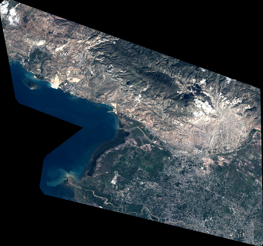
Quicklook
Copyright