TYPE:
ORTHO
LAYER:
DS_PHR1B_201511101532445_FR1_PX_W075N18_1116_00588
FORMAT:
DIMAP
RASTER:
image/jp2
General Information
Map Name
Geometric Processing Level
Radiometric Processing Level
BASIC
Image dimensions
Number of columns
27511
Number of rows
12919
Number of spectral bands
4
Dataset framing
Vertice
Longitude (DEG)
Latitude (DEG)
Row
Col
#1
-74.20482811347642
18.68425080836398
1
#2
-74.07439824983413
18.68365279718937
#3
-74.07471464140416
18.62528387918055
#4
-74.20509993355809
18.62587988842542
Dataset sources
PHR
Coordinate Reference System
Projected Coordinate System
Geocoding tables identification
EPSG(6.3)
Projected Coordinate System name
32618
Projected Coordinate System code
urn:ogc:def:crs:EPSG::32618
Geoposition
Upper - Left Map X Coordinate
583850
Upper - Left Map Y Coordinate
2066078
Image sampling
0.5 x 0.5
Production
Production Date
2015-12-07T15:55:46.271
Job identification
1610124101-001
Dataset Producer Identification
AIRBUS DS GEO
Producer link
http://www.geo-airbusds.com
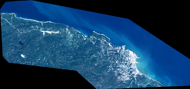
Quicklook
Copyright