TYPE:
SENSOR
LAYER:
DS_PHR1A_201511021040569_FR1_PX_E006N45_1122_01670
FORMAT:
DIMAP
RASTER:
image/jp2
General Information
Map Name
Geometric Processing Level
Radiometric Processing Level
BASIC
Image dimensions
Number of columns
39844
Number of rows
35773
Number of spectral bands
1
Dataset framing
Vertice
Longitude (DEG)
Latitude (DEG)
Row
Col
#1
6.779539107786944
45.98218031974108
#2
7.044409429797861
45.98660332267766
#3
7.045253928798143
45.82144368262797
#4
6.779088733087212
45.81667252841696
Dataset sources
PHR
Coordinate Reference System
Projected Coordinate System
Geocoding tables identification
EPSG(6.3)
Production
Production Date
2016-08-23T12:53:32.525
Job identification
1923457101-002
Dataset Producer Identification
AIRBUS DS GEO
Producer link
http://www.geo-airbusds.com
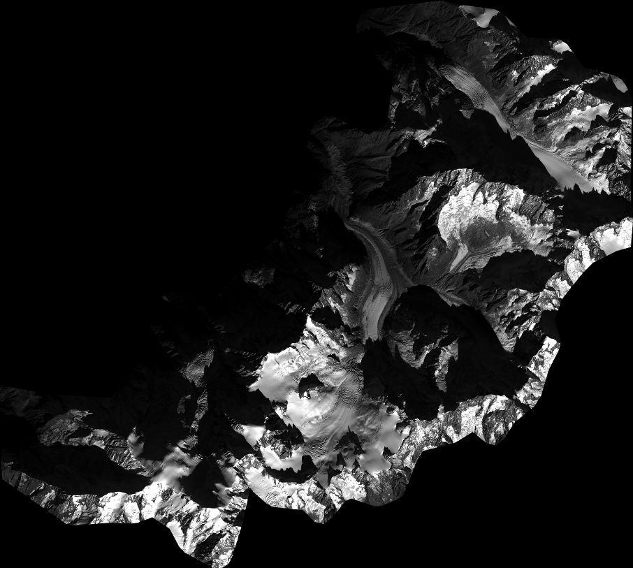
Quicklook
Copyright