TYPE:
SENSOR
LAYER:
DS_PHR1A_201511021040174_FR1_PX_E006N45_1122_01650
FORMAT:
DIMAP
RASTER:
image/jp2
General Information
Map Name
Geometric Processing Level
Radiometric Processing Level
BASIC
Image dimensions
Number of columns
9962
Number of rows
9146
Number of spectral bands
4
Dataset framing
Vertice
Longitude (DEG)
Latitude (DEG)
Row
Col
#1
6.78114215963388
45.98738856691088
1
#2
7.044171808122859
45.9869812827686
#3
7.04425386172889
45.81420801759354
#4
6.781068335046581
45.81699887878964
Dataset sources
PHR
Coordinate Reference System
Projected Coordinate System
Geocoding tables identification
EPSG(6.3)
Production
Production Date
2016-08-23T12:53:38.789
Job identification
1923457101-003
Dataset Producer Identification
AIRBUS DS GEO
Producer link
http://www.geo-airbusds.com
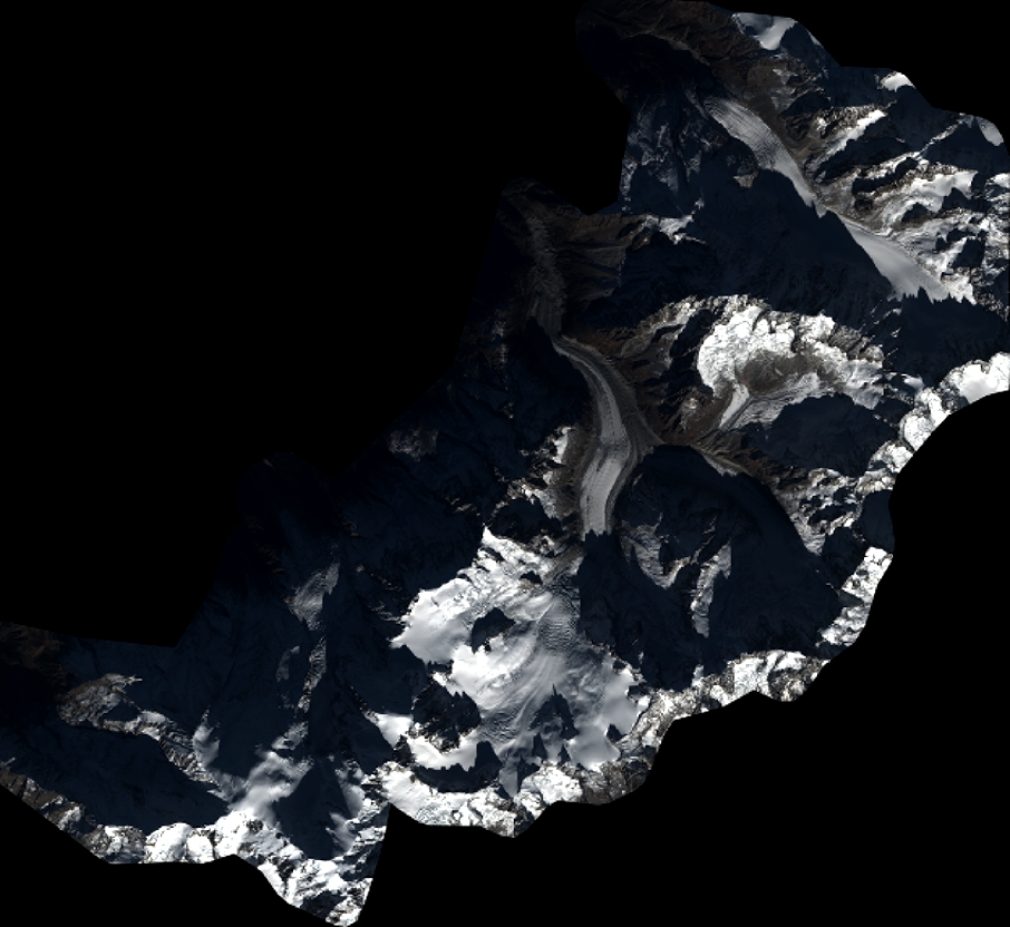
Quicklook
Copyright