TYPE:
ORTHO
LAYER:
DS_PHR1B_201510081536235_FR1_PX_W073N19_1018_01369
FORMAT:
DIMAP
RASTER:
image/jp2
General Information
Map Name
Geometric Processing Level
Radiometric Processing Level
BASIC
Image dimensions
Number of columns
5576
Number of rows
7715
Number of spectral bands
4
Dataset framing
Vertice
Longitude (DEG)
Latitude (DEG)
Row
Col
#1
-72.27760403408436
19.7938596735945
1
#2
-72.17127679453716
19.79220743703145
#3
-72.17372776412304
19.65295570720652
#4
-72.27996315815173
19.65459538495782
Dataset sources
PHR
Coordinate Reference System
Projected Coordinate System
Geocoding tables identification
EPSG(6.3)
Projected Coordinate System name
32618
Projected Coordinate System code
urn:ogc:def:crs:EPSG::32618
Geoposition
Upper - Left Map X Coordinate
785227
Upper - Left Map Y Coordinate
2190968
Image sampling
2 x 2
Production
Production Date
2015-10-15T12:56:16.534
Job identification
1539587101-002
Dataset Producer Identification
AIRBUS DS GEO
Producer link
http://www.geo-airbusds.com
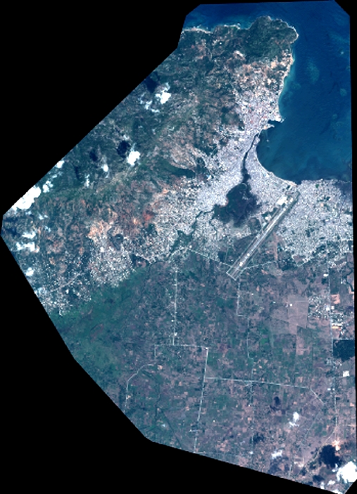
Quicklook
Copyright