TYPE:
ORTHO
LAYER:
DS_PHR1B_201510081536324_FR1_PX_W073N18_0914_01649
FORMAT:
DIMAP
RASTER:
image/jp2
General Information
Map Name
Geometric Processing Level
Radiometric Processing Level
BASIC
Image dimensions
Number of columns
10359
Number of rows
9258
Number of spectral bands
4
Dataset framing
Vertice
Longitude (DEG)
Latitude (DEG)
Row
Col
#1
-72.37392100848973
18.64628142310267
1
#2
-72.17773038133427
18.64343646695917
#3
-72.18047874081384
18.47630874509121
#4
-72.37647886991175
18.47912639743894
Dataset sources
PHR
Coordinate Reference System
Projected Coordinate System
Geocoding tables identification
EPSG(6.3)
Projected Coordinate System name
32618
Projected Coordinate System code
urn:ogc:def:crs:EPSG::32618
Geoposition
Upper - Left Map X Coordinate
777049
Upper - Left Map Y Coordinate
2063723
Image sampling
2 x 2
Production
Production Date
2015-10-15T12:59:48.021
Job identification
1539584101-002
Dataset Producer Identification
AIRBUS DS GEO
Producer link
http://www.geo-airbusds.com
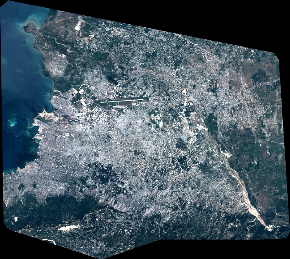
Quicklook
Copyright