|
PHR
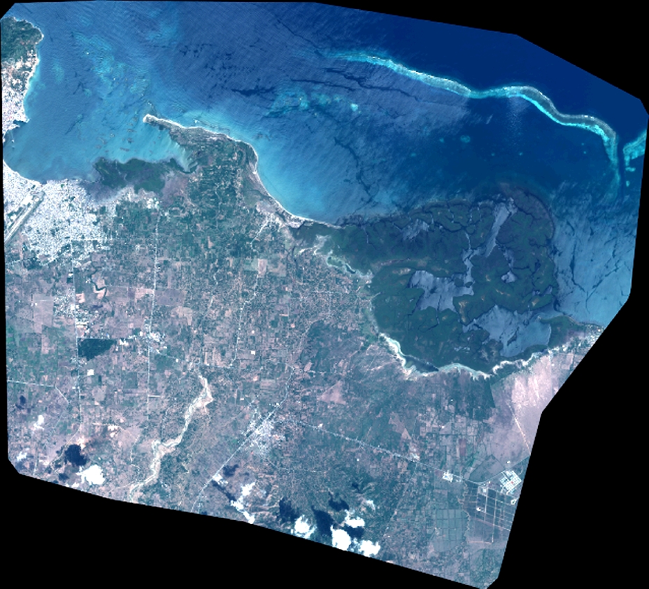
| DS_PHR1B_201510081536496_FR1_PX_W073N19_1117_01728 |
|
| ID | DS_PHR1B_201510081536496_FR1_PX_W073N19_1117_01728 |
| DATE | 2015-10-08 |
| TIME | 15:36:49.6Z |
| INSTRUMENT | PHR1B |
|
|
|
| |
|
| ID | |
| DATE | |
| TIME | |
| INSTRUMENT | 1B |
|
|
|
| |
|
| ID | |
| DATE | |
| TIME | |
| INSTRUMENT | 1B |
|
|
|
| |
|
| ID | |
| DATE | |
| TIME | |
| INSTRUMENT | 1B |
|
|
|
| |
|
| ID | |
| DATE | |
| TIME | |
| INSTRUMENT | 1B |
|
|