TYPE:
ORTHO
LAYER:
DS_PHR1B_201510081536423_FR1_PX_W073N18_0714_01520
FORMAT:
DIMAP
RASTER:
image/jp2
General Information
Map Name
Geometric Processing Level
Radiometric Processing Level
BASIC
Image dimensions
Number of columns
8502
Number of rows
8588
Number of spectral bands
4
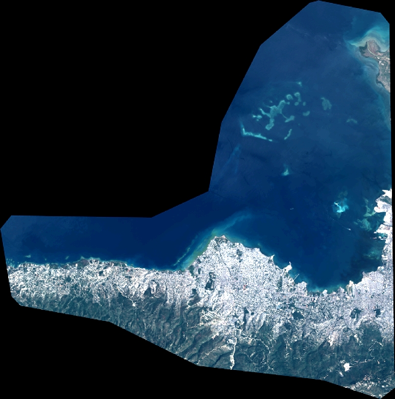
Dataset framing
Vertice
Longitude (DEG)
Latitude (DEG)
Row
Col
#1
-72.50467278052554
18.64921969313279
1
#2
-72.34363305510877
18.64701146042251
#3
-72.34603415593537
18.49195864527805
#4
-72.50692869661471
18.49414721814624
Dataset sources
PHR
Coordinate Reference System
Projected Coordinate System
Geocoding tables identification
EPSG(6.3)
Projected Coordinate System name
32618
Projected Coordinate System code
urn:ogc:def:crs:EPSG::32618
Geoposition
Upper - Left Map X Coordinate
763243
Upper - Left Map Y Coordinate
2063851
Image sampling
2 x 2
Production
Production Date
2015-10-15T13:15:23.032
Job identification
1539585101-002
Dataset Producer Identification
AIRBUS DS GEO
Producer link
http://www.geo-airbusds.com
Quicklook
Copyright