TYPE:
SENSOR
LAYER:
DS_PHR1A_201508301033318_FR1_PX_E006N45_1122_01708
FORMAT:
DIMAP
RASTER:
image/jp2
General Information
Map Name
Geometric Processing Level
Radiometric Processing Level
BASIC
Image dimensions
Number of columns
39456
Number of rows
38000
Number of spectral bands
1
Dataset framing
Vertice
Longitude (DEG)
Latitude (DEG)
Row
Col
#1
6.782981342896305
45.98776839725708
#2
7.042473402819822
45.98387387437586
#3
7.041545682196679
45.810825449029
#4
6.784781237750642
45.81199300578496
Dataset sources
PHR
Coordinate Reference System
Projected Coordinate System
Geocoding tables identification
EPSG(6.3)
Production
Production Date
2016-07-26T08:28:41.089
Job identification
1887605101-001
Dataset Producer Identification
AIRBUS DS GEO
Producer link
http://www.geo-airbusds.com
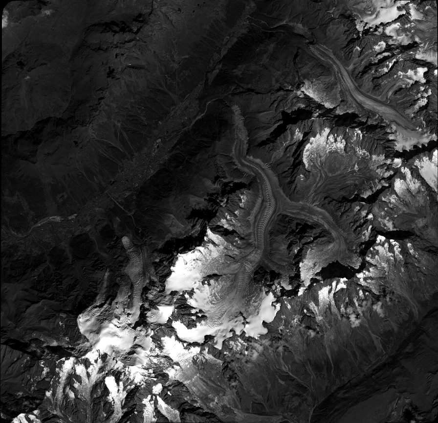
Quicklook
Copyright