TYPE:
SENSOR
LAYER:
DS_PHR1A_201508301032573_FR1_PX_E006N45_1122_01707
FORMAT:
DIMAP
RASTER:
image/jp2
General Information
Map Name
Geometric Processing Level
Radiometric Processing Level
BASIC
Image dimensions
Number of columns
38602
Number of rows
37976
Number of spectral bands
1
Dataset framing
Vertice
Longitude (DEG)
Latitude (DEG)
Row
Col
#1
6.782541934294439
45.98502514004245
#2
7.043073985867081
45.9913713388353
#3
7.041411964383154
45.81428890153767
#4
6.785664141905053
45.80999957326025
Dataset sources
PHR
Coordinate Reference System
Projected Coordinate System
Geocoding tables identification
EPSG(6.3)
Production
Production Date
2016-07-26T08:28:35.493
Job identification
1887605101-002
Dataset Producer Identification
AIRBUS DS GEO
Producer link
http://www.geo-airbusds.com
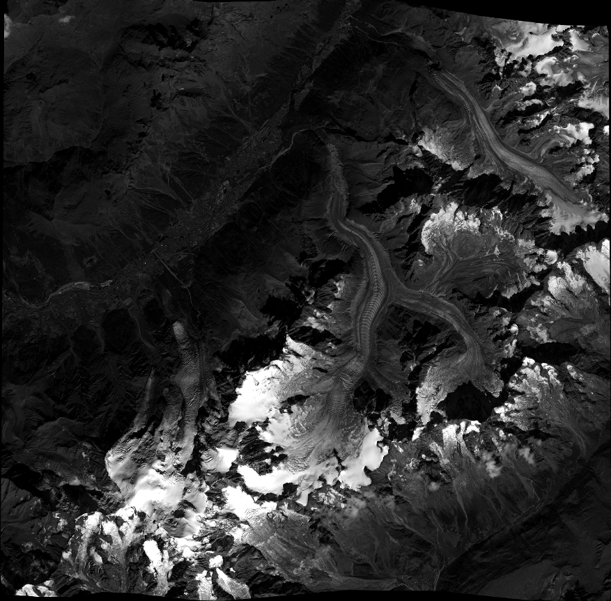
Quicklook
Copyright