TYPE:
SENSOR
LAYER:
SEN_SPOT7_20150821_102305300_000
FORMAT:
DIMAP
RASTER:
image/jp2
General Information
Map Name
Geometric Processing Level
Radiometric Processing Level
BASIC
Image dimensions
Number of columns
9652
Number of rows
8215
Number of spectral bands
4
Dataset framing
Vertice
Longitude (DEG)
Latitude (DEG)
Row
Col
#1
7.2774194727
48.9350872168
1
#2
8.27593611744
48.8745970057
#3
8.28200968174
48.341075837
#4
7.27276958762
48.4094054335
Dataset sources
SPOT
Coordinate Reference System
Projected Coordinate System
Geocoding tables identification
ITU(0.0)
Production
Production Date
2016-09-20T11:51:02.00Z
Job identification
SPOT7_20160920_1128011vubg9ahhqyd9_1
Dataset Producer Identification
"SRD GEOSUD / IRD, Irstea, IGN"
Producer link
http://geosud.teledetection.fr/
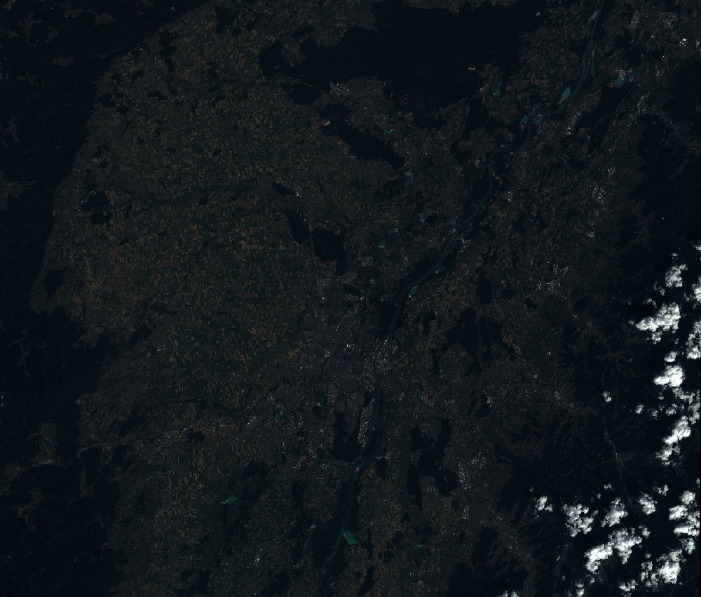
Quicklook
Copyright