TYPE:
SENSOR
LAYER:
DS_PHR1B_201508031040113_FR1_PX_E006N45_1122_01673
FORMAT:
DIMAP
RASTER:
image/jp2
General Information
Map Name
Geometric Processing Level
Radiometric Processing Level
BASIC
Image dimensions
Number of columns
9998
Number of rows
9207
Number of spectral bands
4
Dataset framing
Vertice
Longitude (DEG)
Latitude (DEG)
Row
Col
#1
6.781862265928803
45.98663199752731
1
#2
7.042430100215918
45.98600562152592
#3
7.042744425527371
45.81712205301006
#4
6.78181259284997
45.81938422610698
Dataset sources
PHR
Coordinate Reference System
Projected Coordinate System
Geocoding tables identification
EPSG(6.3)
Production
Production Date
2015-09-14T13:06:12.874
Job identification
1476930101-002
Dataset Producer Identification
AIRBUS DS GEO
Producer link
http://www.geo-airbusds.com
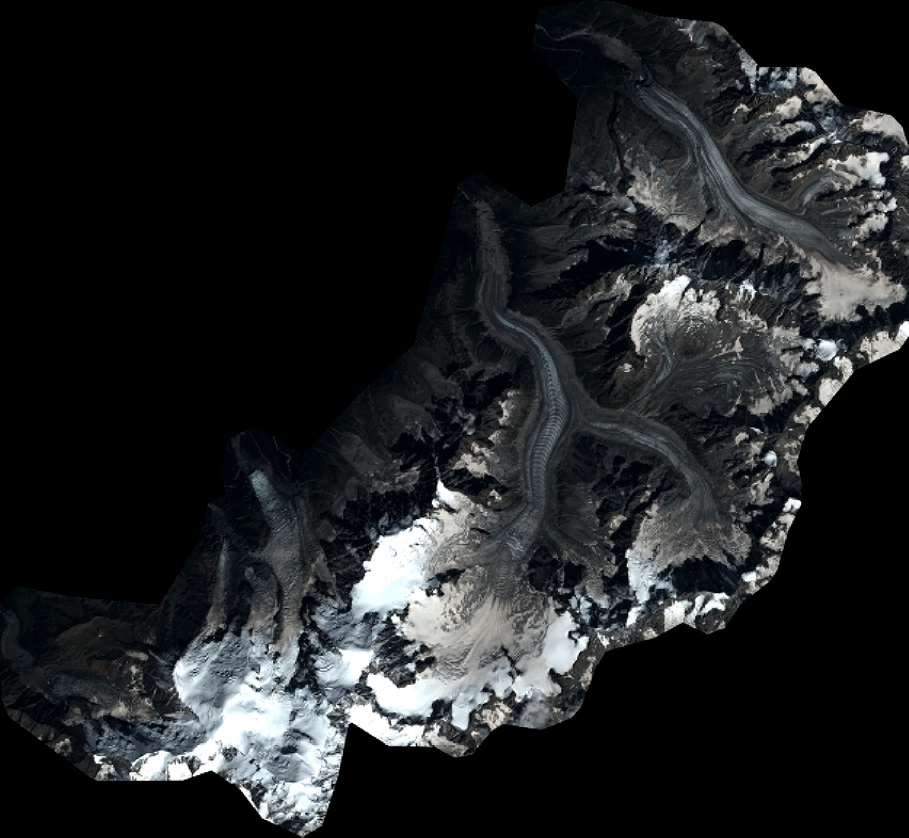
Quicklook
Copyright