TYPE:
SENSOR
LAYER:
DS_PHR1A_201506251040591_FR1_PX_E006N45_1222_01724
FORMAT:
DIMAP
RASTER:
image/jp2
General Information
Map Name
Geometric Processing Level
Radiometric Processing Level
BASIC
Image dimensions
Number of columns
40000
Number of rows
38360
Number of spectral bands
1
Dataset framing
Vertice
Longitude (DEG)
Latitude (DEG)
Row
Col
#1
6.826596024930573
46.00593840970508
#2
7.089970812964566
45.96492858183531
#3
7.023170289531158
45.7857999854314
#4
6.761613881946837
45.82794988062649
Dataset sources
PHR
Coordinate Reference System
Projected Coordinate System
Geocoding tables identification
EPSG(6.3)
Production
Production Date
2015-07-29T06:58:57.575
Job identification
PRG_FC_69416-004
Dataset Producer Identification
AIRBUS DS GEO
Producer link
http://www.geo-airbusds.com
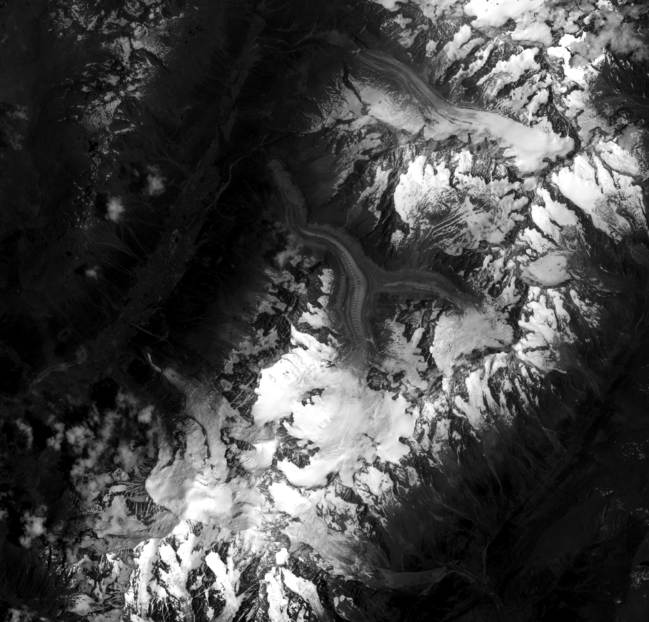
Quicklook
Copyright