TYPE:
SENSOR
LAYER:
DS_PHR1B_201410281036398_FR1_PX_E006N45_0203_01554
FORMAT:
DIMAP
RASTER:
image/jp2
General Information
Map Name
Geometric Processing Level
Radiometric Processing Level
BASIC
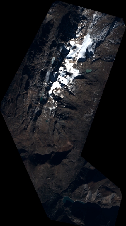
Image dimensions
Number of columns
4725
Number of rows
8470
Number of spectral bands
4
Dataset framing
Vertice
Longitude (DEG)
Latitude (DEG)
Row
Col
#1
6.075836225040435
45.19116569798007
1
#2
6.202582013877411
45.19430163954785
#3
6.202239379363033
45.02963150446478
#4
6.074141615610773
45.02345728565561
Dataset sources
PHR
Coordinate Reference System
Projected Coordinate System
Geocoding tables identification
EPSG(6.3)
Production
Production Date
2016-06-01T13:00:17.499
Job identification
1802602101-002
Dataset Producer Identification
AIRBUS DS GEO
Producer link
http://www.geo-airbusds.com
Quicklook
Copyright