TYPE:
SENSOR
LAYER:
DS_PHR1B_201403081035496_FR1_PX_E007N48_0914_01952
FORMAT:
DIMAP
RASTER:
image/jp2
General Information
Map Name
Geometric Processing Level
Radiometric Processing Level
BASIC
Image dimensions
Number of columns
10000
Number of rows
10845
Number of spectral bands
4
Dataset framing
Vertice
Longitude (DEG)
Latitude (DEG)
Row
Col
#1
7.575490181712247
48.6633037241042
1
#2
7.850288680757848
48.66442187315728
#3
7.849663249773487
48.46801729150874
#4
7.576110161401156
48.46649308426962
Dataset sources
PHR
Coordinate Reference System
Projected Coordinate System
Geocoding tables identification
EPSG(6.3)
Production
Production Date
2014-04-01T11:16:59.011
Job identification
862022201-003
Dataset Producer Identification
Astrium Services / Spot Image
Producer link
http://www.astrium-geo.com
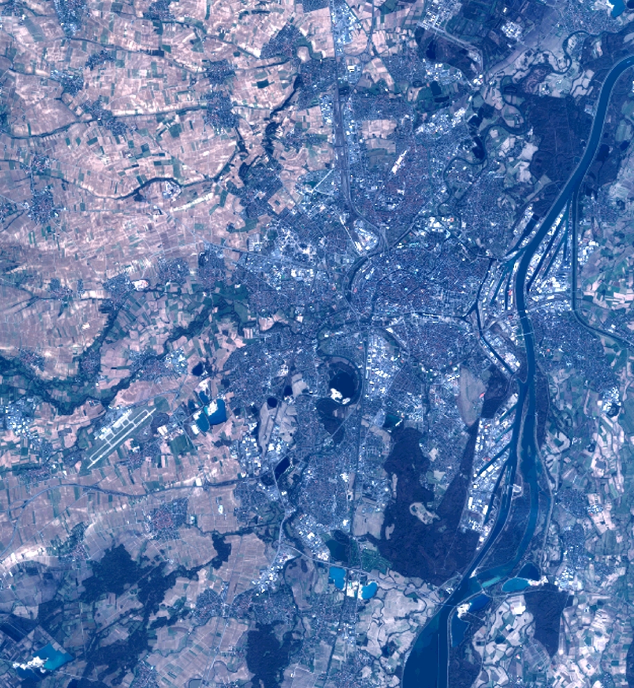
Quicklook
Copyright